38191828
Beschreibung
Karteikarten von Jocelyn Nohemy Rivera Urrutia, aktualisiert more than 1 year ago
|
|
Erstellt von Jocelyn Nohemy Rivera Urrutia
vor mehr als ein Jahr
|
|
| Frage | Antworten |
|
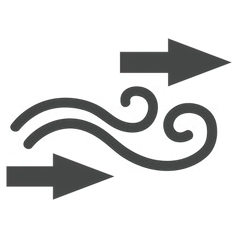
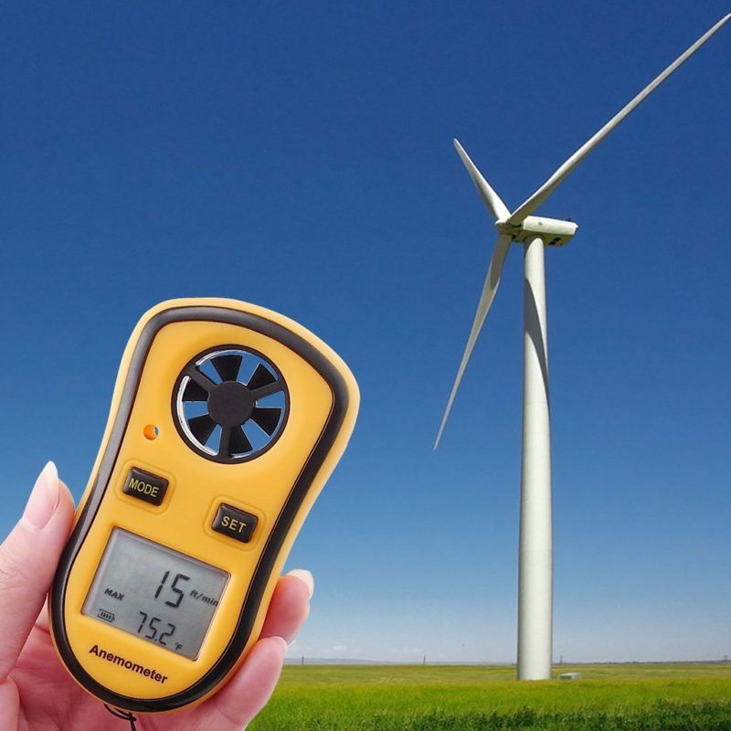
Wind direction
Definition: the direction the wind is coming from.
Image:
Wind (binary/octet-stream)
|
Example: Measurements include temperature, air pressure, humidity, wind direction and speed. |
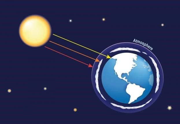
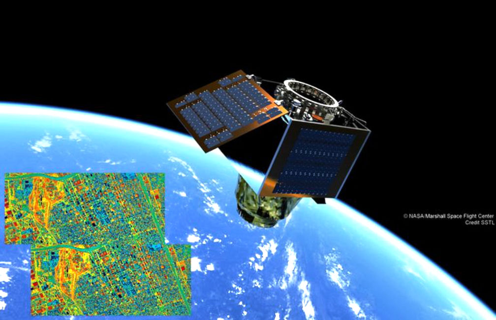
| Radiation Definition: The energy between the sun and the Earth’s surface. | Example: Satellites provide weather information by measuring the radiation given off by Earth and by taking photographs. |
| Infrared satellite Definition: It's sort of a temperature map. | Example: The Images provided by the infrared satellite show cloud temperature and height. |
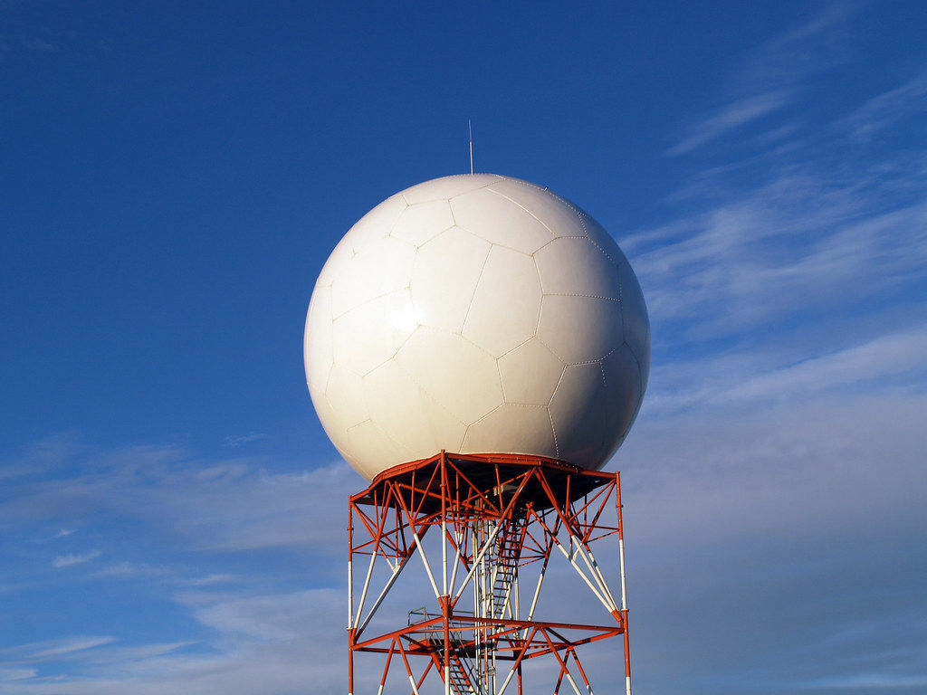
| Doppler radar Definition: It's a radar that used to produce velocity at a distance. | Example: Doppler radar is a special form of radar that can be used to detect precipitation and approximate wind speed. |
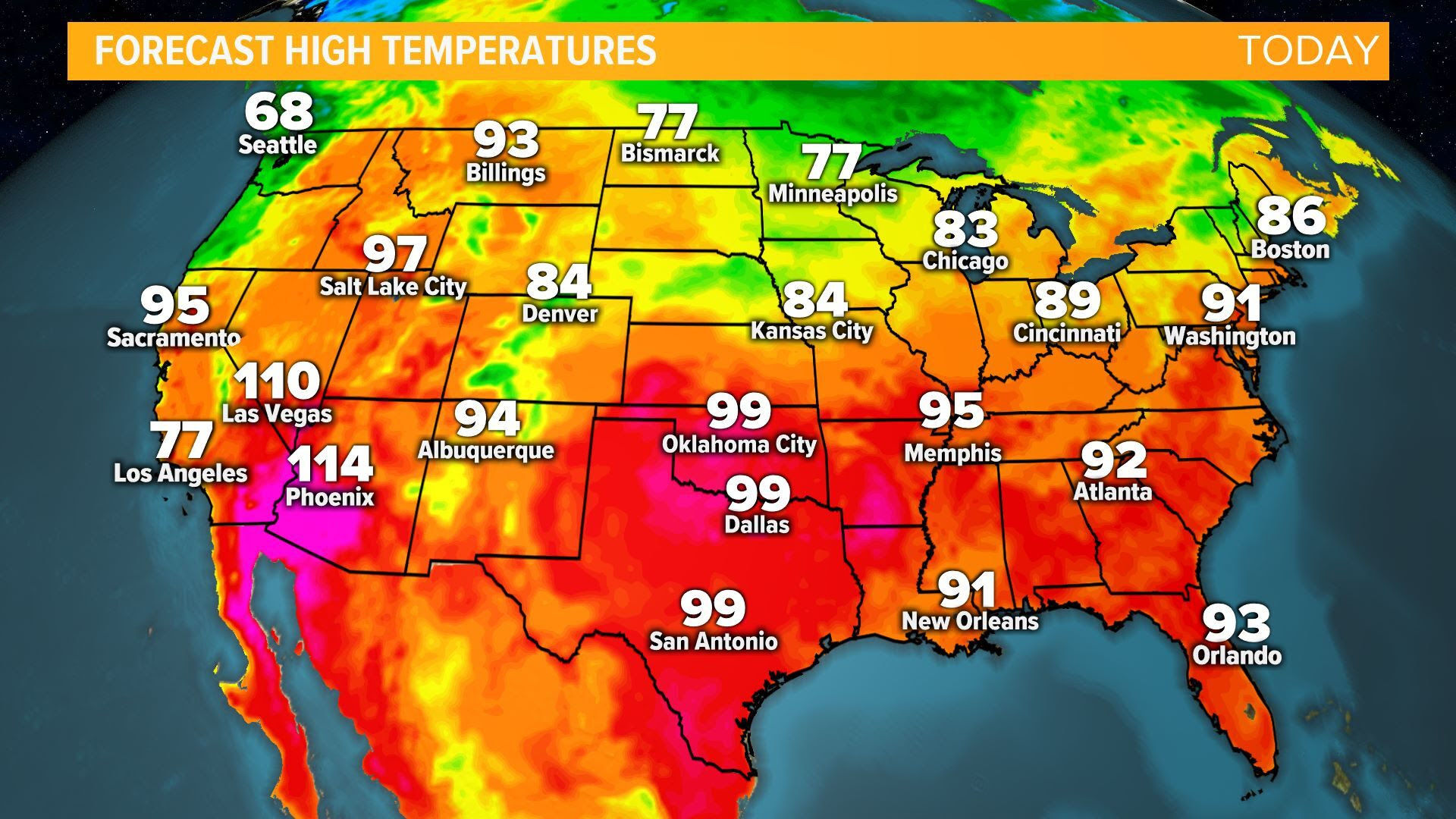
| Weather map Definition: A map or chart showing weather conditions over a wide area. | There are many weather measurements for a specific location. It appears on the weather map. |
| Wind speed Definiton: The rate at which air is moving in a particular area. | Weather maps have symbols of lines that connect places with equal air pressure. These lines give information about wind speed. |
|
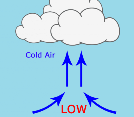
Low pressure
Definiton:
All related to stormy, cloudy, rainy weather.
Image:
Jj (binary/octet-stream)
|
Example: Some low pressures have affected in our country. |
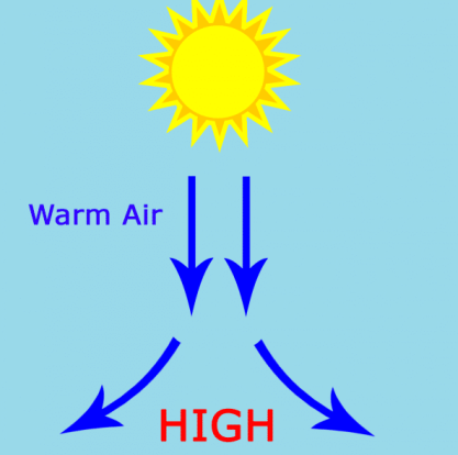
| High pressure Definition: All related to sunny and fair weather. | Example: The closer the high pressure system and the low pressure system are to each other the higher the winds will be. |
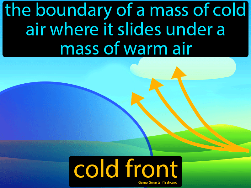
| Cold front Definition: It pushes in colder air and lower temperatures. | Example: On the weather map you can see how a cold front is coming for this area. |
|
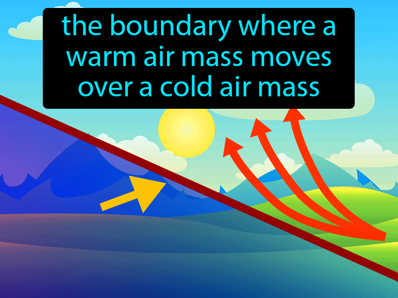
Warm front
Definiton:
It pushes in warmer air and temperatures.
Image:
Warm (binary/octet-stream)
|
Example: You can see how warm fronts appear on the map. |
Möchten Sie mit GoConqr kostenlos Ihre eigenen Karteikarten erstellen? Mehr erfahren.