16282775
Description
Flashcards by Christian J, updated more than 1 year ago
|
|
Created by Christian J
over 5 years ago
|
|
| Question | Answer |
| MexAmerica | |
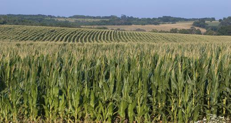
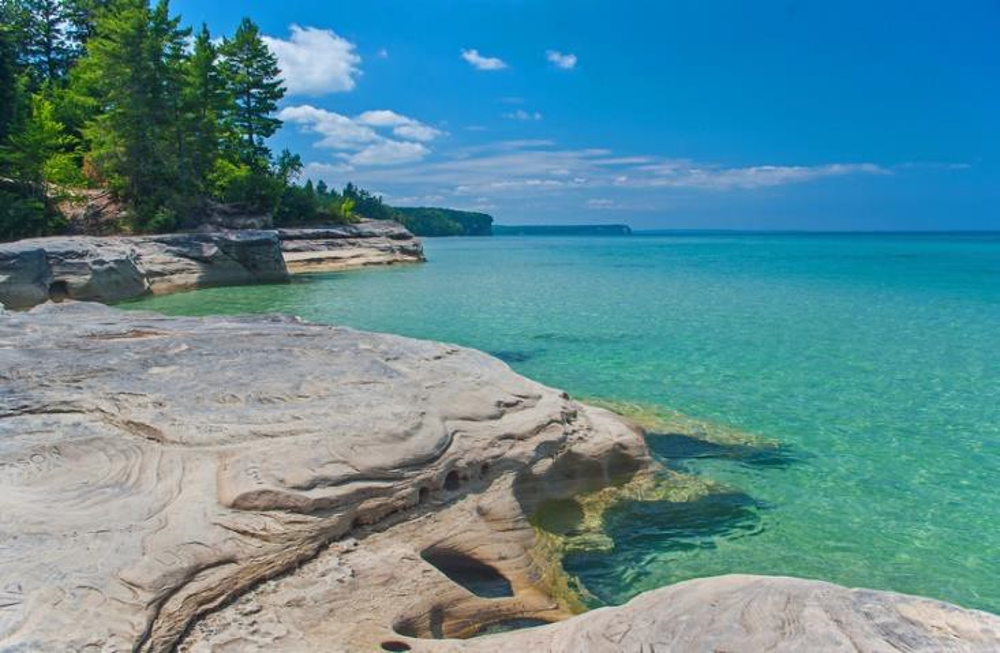
| Great Lakes and Corn Belt | |
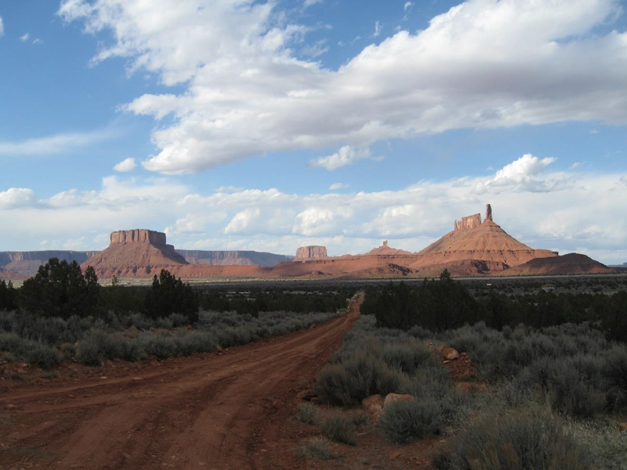
| Intermountain West | |
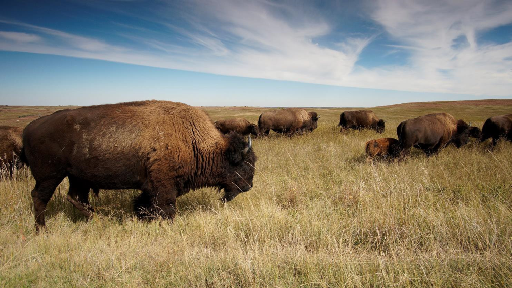
| Great Plains | |
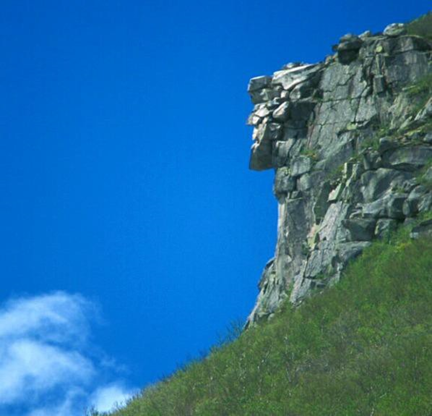
| Atlantic Periphery (New Hampshire) | |
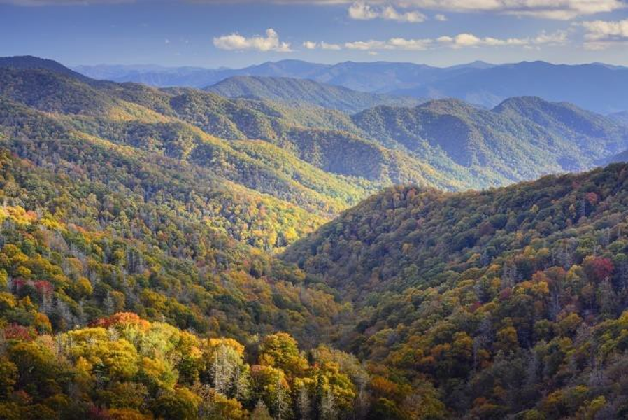
| Inland South | |
| Atlantic Periphery | |
| Megalopolis | |
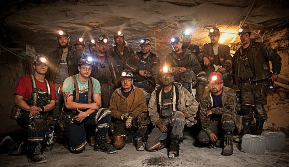
| Inland South (not Wyoming mines) | |
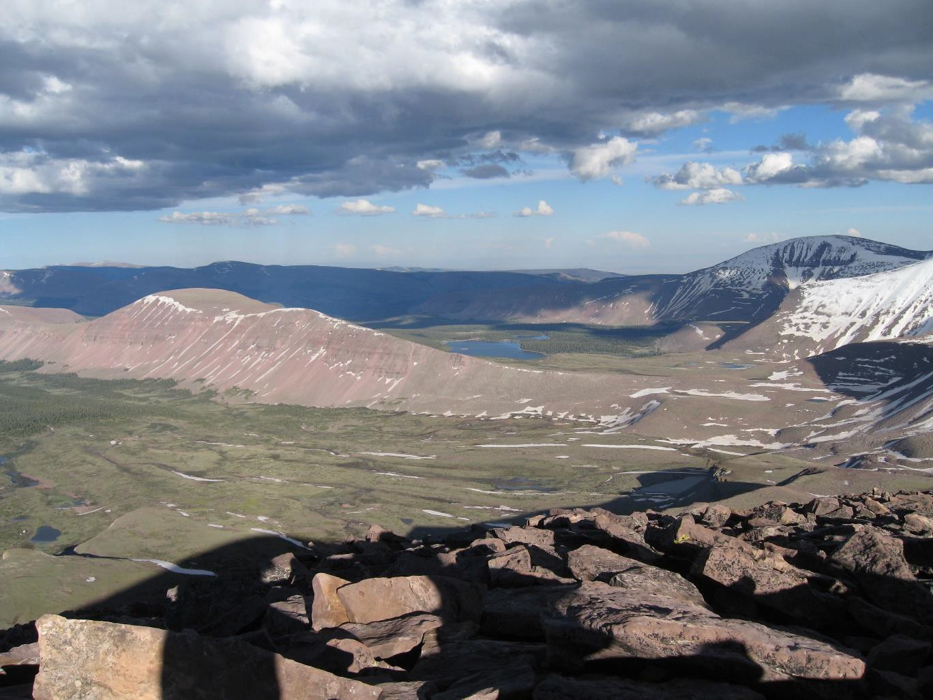
| Intermountain West | |
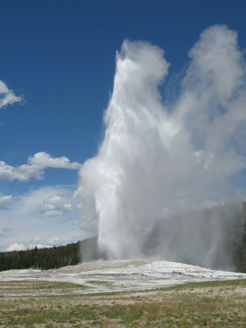
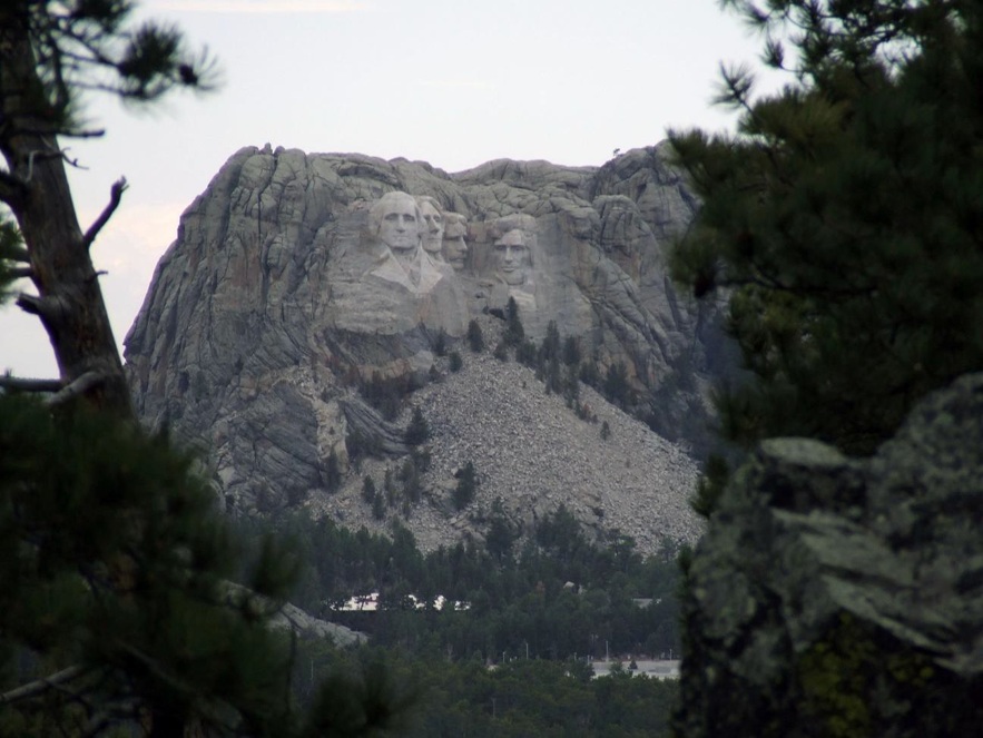
| Rocky Mountains | |
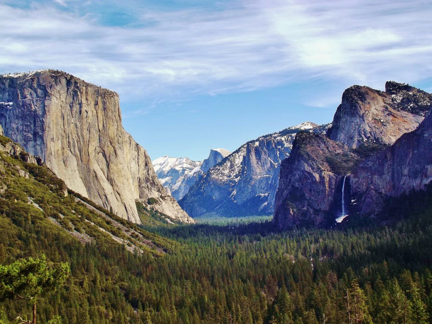
| California | |
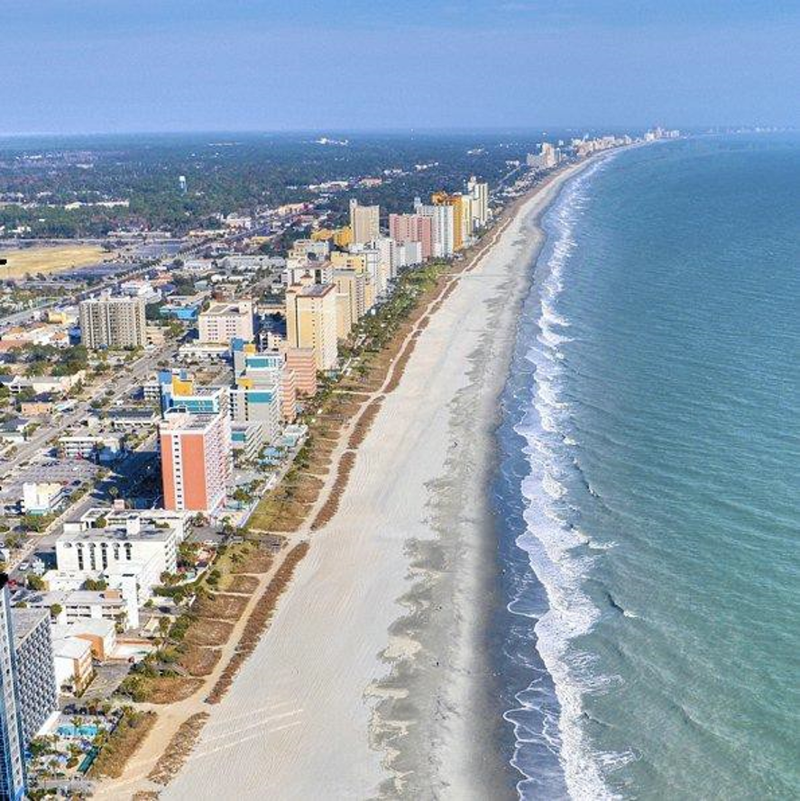
| Coastal South | |
| Great Plains | |
| Great Lakes and Cornbelt | |
| Great Plains | |
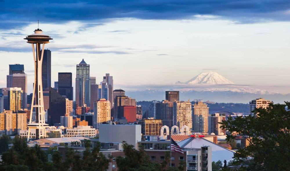
| Pacific Northwest | |
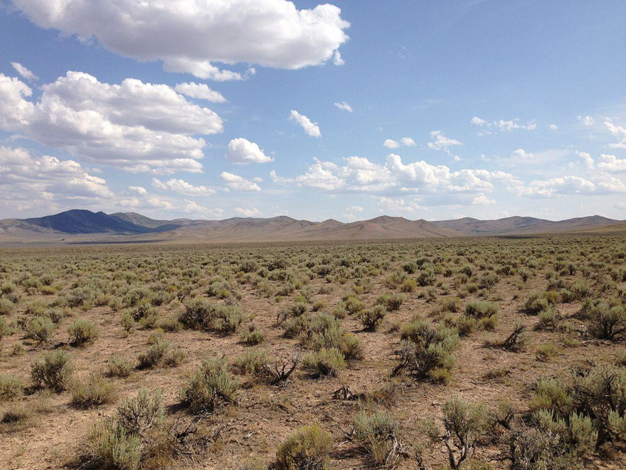
| Intermountain West (Nevada along I-80) | |
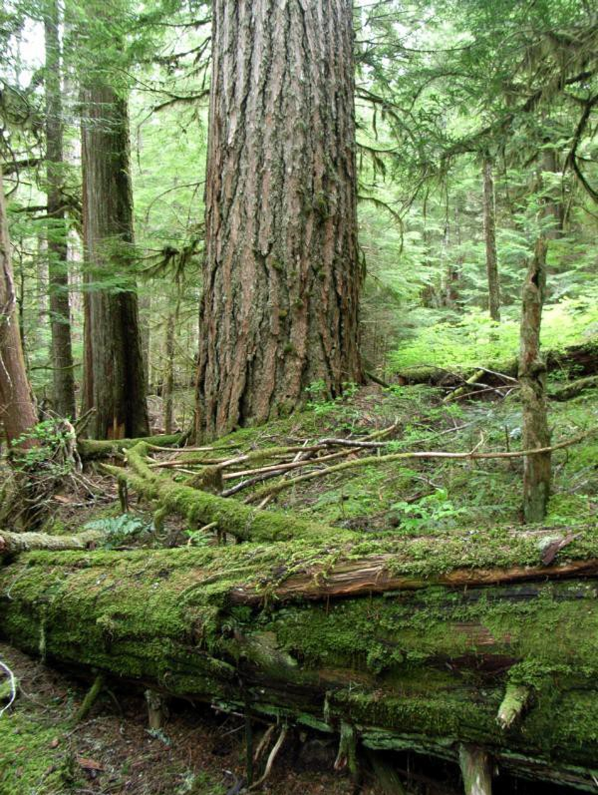
| Pacific Northwest (not California Redwoods) | |
| Pacific Northwest | |
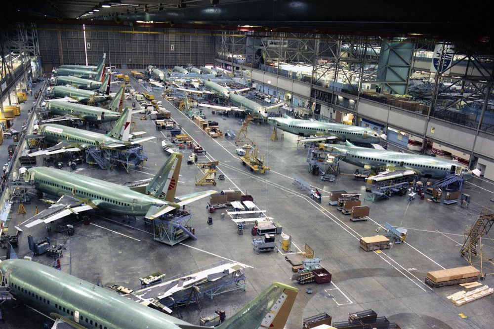
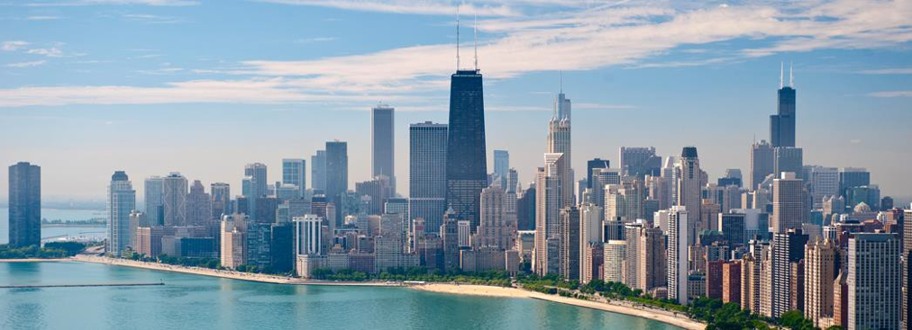
| Great Lakes and Corn Belt (Chicago, Illinois) | |
| Rocky Mountains | |
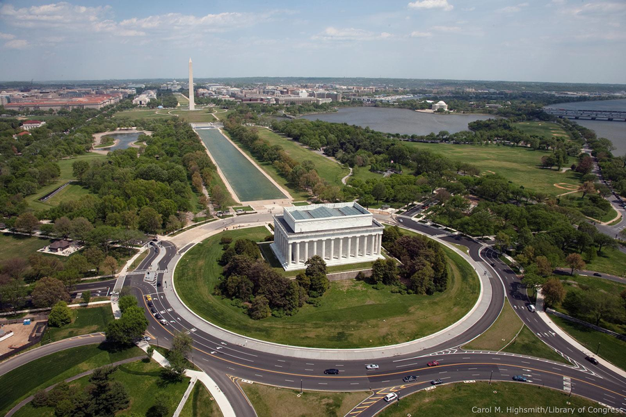
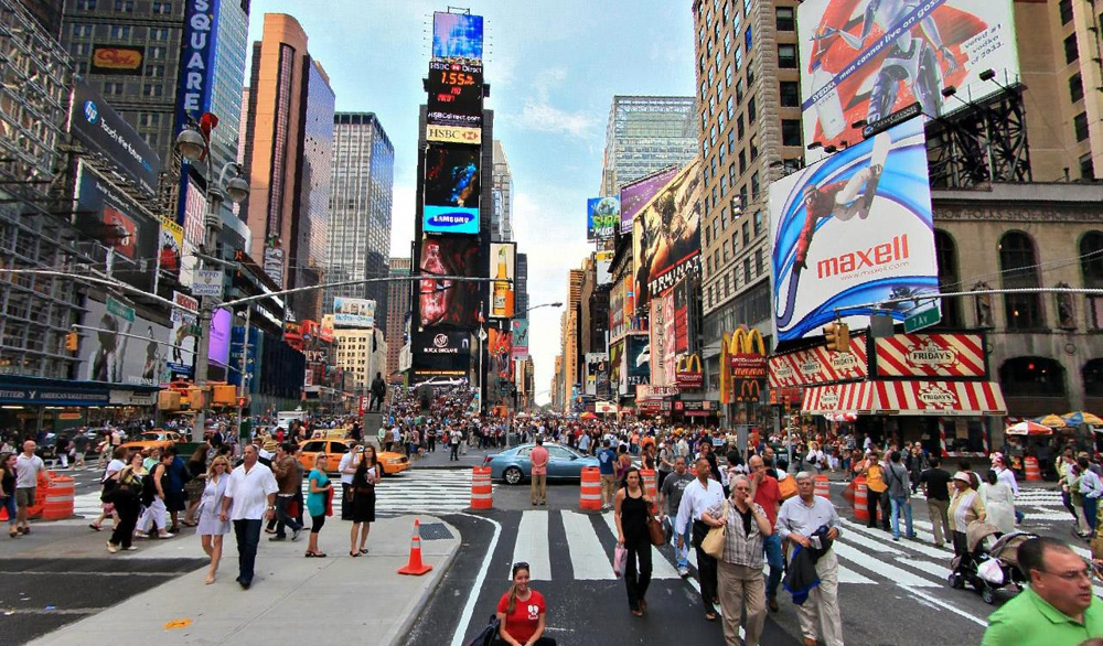
| Megalopolis (NYC) | |
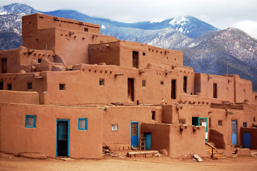
| MexAmerica | |
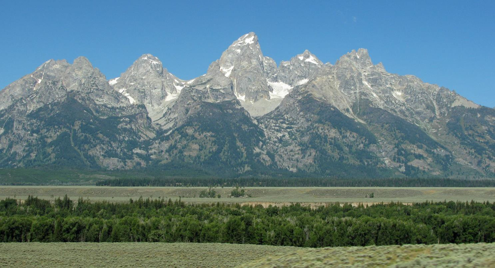
| Rocky Mountains (Tetons) | |
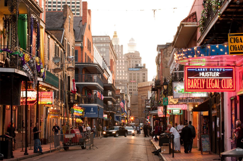
| Coastal South (Bourbon St, New Orleans, Louisiana) | |
| Atlantic Periphery | |
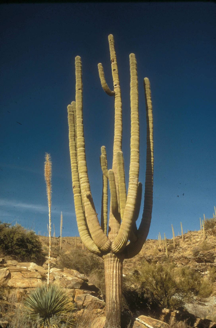
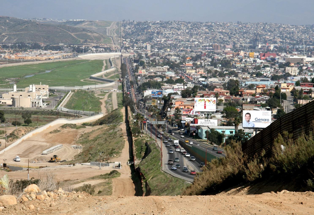
| MexAmerica (Mexico-California border) | |
| California (Downtown San Francisco) | |
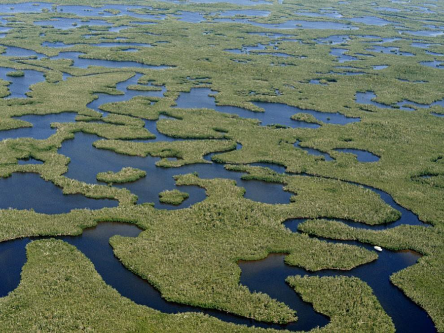
| Coastal South (Everglades, Florida) | |
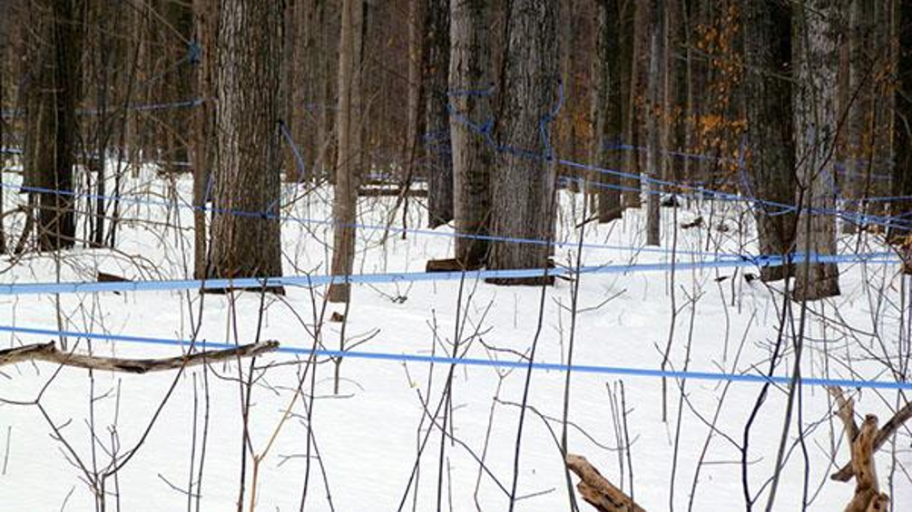
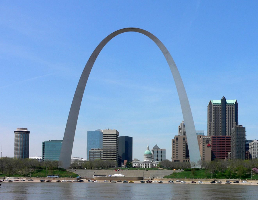
| Inland South (Gateway to the West, Missouri) | |
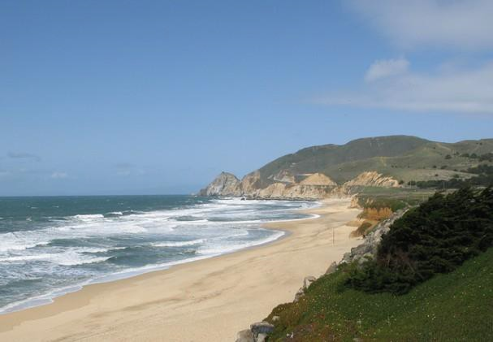
| California (Big Sur probably) | |
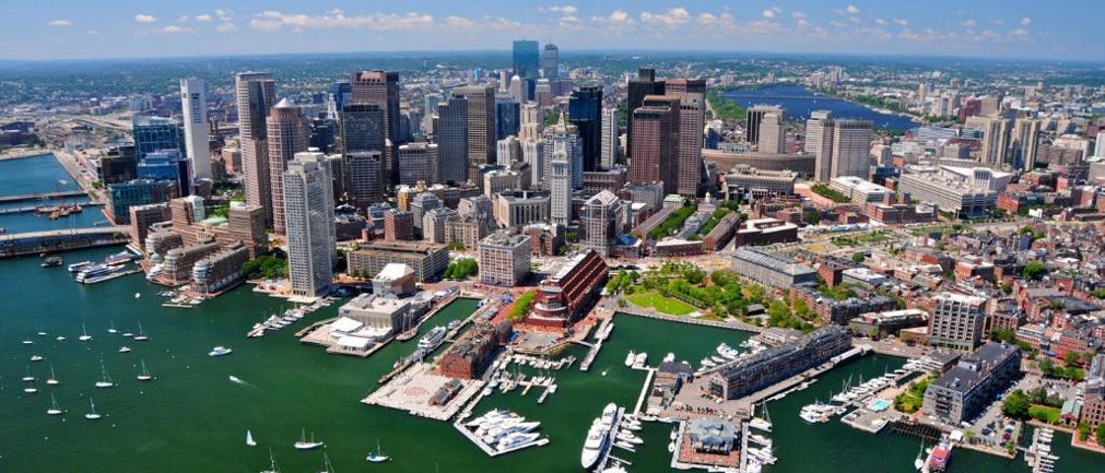
| Megalopolis (Boston, Massachusetts) |
Want to create your own Flashcards for free with GoConqr? Learn more.