17929249
Description
Flashcards by Natalia Ramos Escalada, updated more than 1 year ago
|
|
Created by Natalia Ramos Escalada
almost 5 years ago
|
|
| Question | Answer |
| They represent the world as flat | |
| They represent the Earth as it really is | |
| They show the Earth tilted on its axis | |
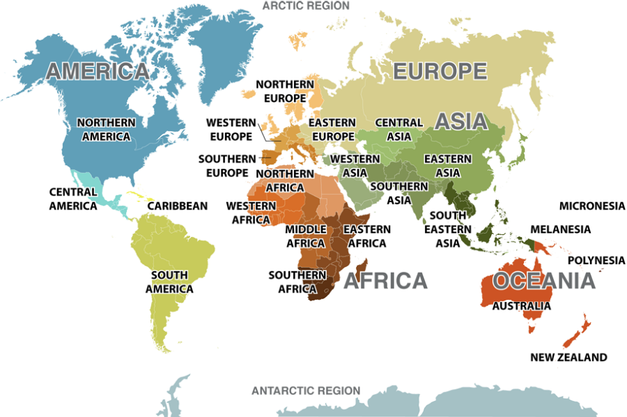
| They have lines of longitude and latitude | Maps and Globes |
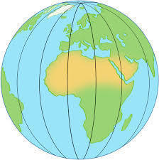
| A globe represents the Earth as a | sphere |
| Physical maps use different colours to show different areas of | elevation |
| Political maps show | the borders between different countries |
| Physical maps show | bodies of water |
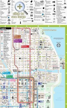
| Street maps show | natural and man-made features. |
| Street maps help people find | places they want to go. |
| Physical Map | |
| Globe | |
| Political Map | |
| Street Map | |
| Lines of Latitude | |
| Lines of Longitude | |
|
Image:
E08 (binary/octet-stream)
|
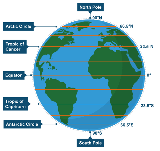
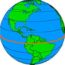
Equator |
| The Equator divides the world into | the Northern Hemisphere and the Southern Hemisphere. |
| Antarctica is located in | the Southern Hemisphere |
| Europe is located in the | Northern Hemisphere |
| Lines of Longitude | goes vertically around Earth |
| Lines of latitude | go horizontally around the Earth |
| Lines of latitude and longitude measure | distance from the Equator. |
| Small scale | |
| Large scale |
![14cm World Globe Atlas With Swivel Stand 68086 P[Ekm]341x500[Ekm] (binary/octet-stream)](https://cdn.goconqr.com/uploads/media/image/20476913/desktop_22f5b7fa-7fcf-4d13-8b05-8af95093912b.png)
Want to create your own Flashcards for free with GoConqr? Learn more.