
Karteikarten
NC Geography Review
Karten in diesem Stapel (22)
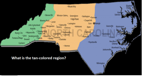
- 1—PIEDMONT
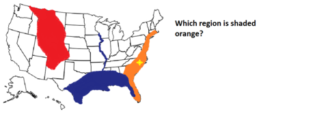
- 2—ATLANTIC COASTAL PLAIN
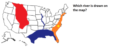
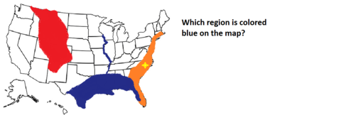
- 3—MISSISSIPPI RIVER
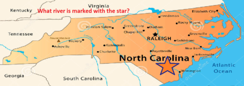
- 4—CAPE FEAR RIVER
- 5—MOUNTAIN
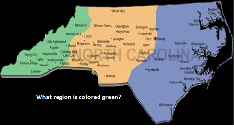
- 6—GULF COASTAL PLAIN
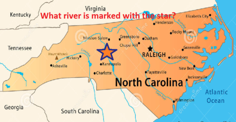
- 7—YADKIN RIVER
- 8—NORTH CAROLINA
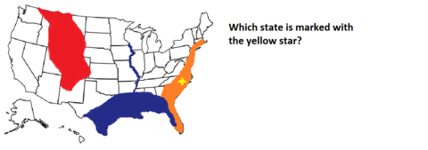
- 9—ATLANTIC COASTAL PLAIN
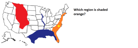
- 10—COASTAL PLAIN
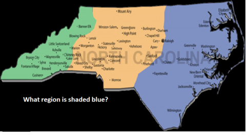
- 11Which region? *45% of the state's land area *has the state's major military bases *is divided into 2 subregionsCOASTAL PLAIN
- 12Which region? *has most of the state's major cities *manufacturing center of the state *you live herePIEDMONT
- 13Which region? *was the last to be settled by colonists *has the highest elevation *grows apples and Christmas treesMOUNTAIN
- 14What effect did the Outer Banks have on North Carolina's early development?* prevented the development of large port cities
*Europeans went to Virginia or South Carolina instead
*pirates operated successfully in the area - 15What barriers to trade and travel existed in North Carolina throughout its history?*Outer Banks
*Mountains
*Shallow, rocky rivers
* Poor roads - 16Reasons the Industrial Revolution started in New England*Long, deep rivers
*Deep harbors
*Coal deposits
*Canals
*Poor farming climate - 17Ways in which Americans modify the environment*Pollution (air, ground, water)
*Construction
*Deforestation
*Hunting and fishing - 18This deal doubled the size of the US and gave us complete control of the Mississippi RiverLouisiana Purchase
- 19This event in the 1930s was defined by black clouds of topsoil blown by winds following a period of drought.DUST BOWL
- 20What are Americans using to try to be more environmentally-friendly?*Wind Power
*Solar Power
*Hybrid and electric cars
*Recycling programs - 21What two groups of people have benefited from the Outer Banks in our history?*Pirates
*Smugglers - 22What geographic feature isolated the western region of the state from other regions?MOUNTAINS
Informationen
- Beschreibung
- Karteikarten am NC Geography Review, erstellt von Brian Hinkle am 31/01/2017.
- Erstellt von
- Brian Hinkle
- Aufrufe
- 26
- Bewertung