
Mindmap
Topographic Maps
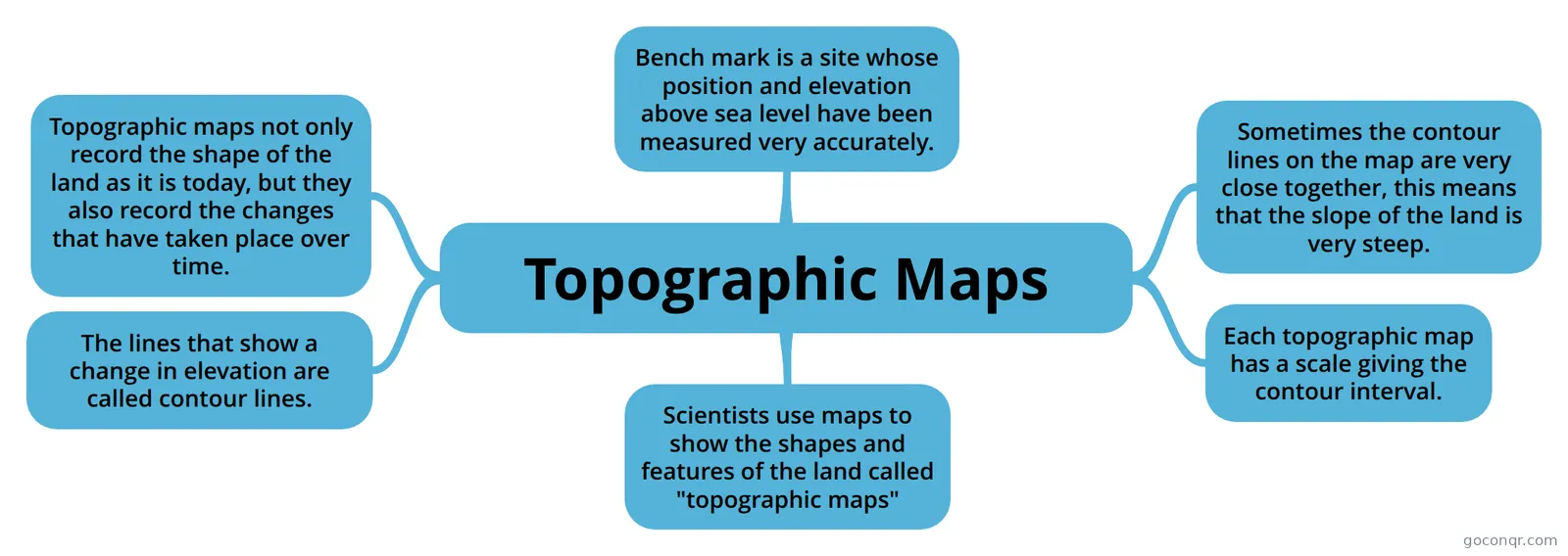
Mind map: Topographic maps
Inhalt der Mindmap
Topographic Maps
Scientists use maps to show the shapes and features of the land called "topographic maps"
Bench mark is a site whose position and elevation above sea level have been measured very accurately.
The lines that show a change in elevation are called contour lines.
Each topographic map has a scale giving the contour interval.
Sometimes the contour lines on the map are very close together, this means that the slope of the land is very steep.
Topographic maps not only record the shape of the land as it is today, but they also record the changes that have taken place over time.