1325053
Beschreibung

Karteikarten von Lynn Rathbun, aktualisiert more than 1 year ago
|
|
Erstellt von Lynn Rathbun
vor mehr als 9 Jahre
|
|
| Frage | Antworten |
| globe |
Spherical model of the earth.
Image:
globe (image/jpg)
|
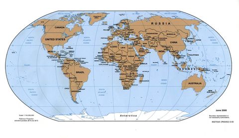
| map |
2-dimensional model of an area.
Image:
world_2000 (image/jpg)
|
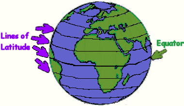
| latitude |
A measure of distances north and south of the equator; imaginary lines that are parallel.
Image:
latitude.gif (image/gif)
|
| longitude | Measure of distances east and west of the prime meridian; imaginary lines that run from pole to pole. |
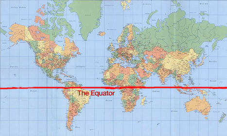
| equator |
0° latitude. An imaginary line that divides the earth into northern and southern hemispheres.
Image:
the-equator-line (image/jpg)
|
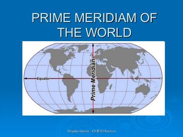
| Prime Meridian | 0° longitude. An imaginary line that divides the earth into eastern and western hemispheres. |
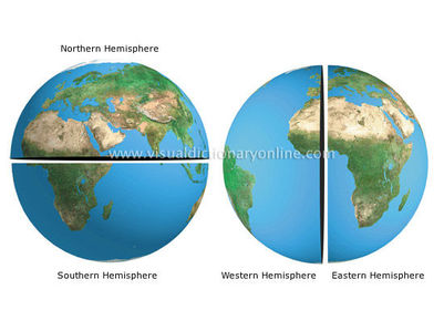
| Hemisphere |
Half of a sphere; on the earth these are labeled North, South, East, and West.
Image:
hemispheres_2 (image/jpg)
|
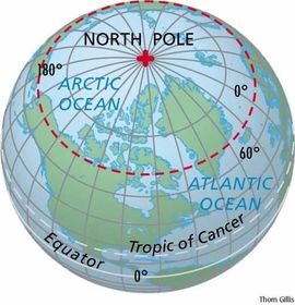
| North Pole | Northern most point of the earth. |
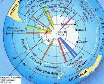
| South Pole | Southern most point of the earth. |
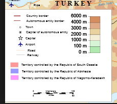
| symbol |
Visual representation that stands for something else (color code, natural resources, country boundaries).
Image:
Map_Key_pic.PNG (image/PNG)
|
Möchten Sie mit GoConqr kostenlos Ihre eigenen Karteikarten erstellen? Mehr erfahren.