
Karteikarten
Geography
Karten in diesem Stapel (10)
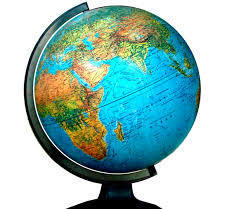
- 1globeSpherical model of the earth.
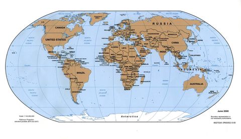
- 2map2-dimensional model of an area.
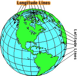
- 3latitudeA measure of distances north and south of the equator; imaginary lines that are parallel.

- 4longitudeMeasure of distances east and west of the prime meridian; imaginary lines that run from pole to pole.
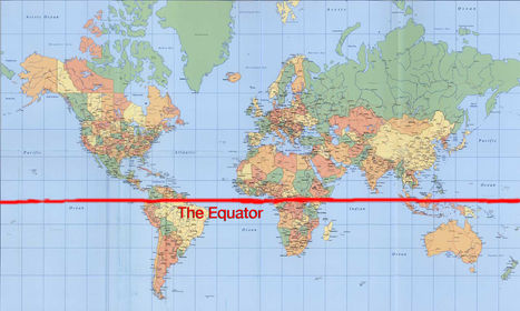
- 5equator0° latitude. An imaginary line that divides the earth into northern and southern hemispheres.
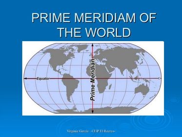
- 6Prime Meridian0° longitude. An imaginary line that divides the earth into eastern and western hemispheres.
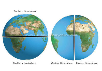
- 7HemisphereHalf of a sphere; on the earth these are labeled North, South, East, and West.
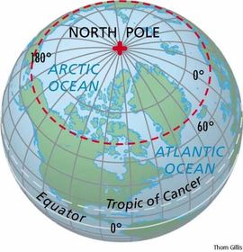
- 8North PoleNorthern most point of the earth.
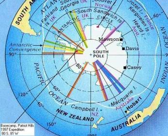
- 9South PoleSouthern most point of the earth.
- 10symbolVisual representation that stands for something else (color code, natural resources, country boundaries).

Informationen
- Beschreibung
- Karteikarten am Geography, erstellt von Lynn Rathbun am 21/09/2014.
- Erstellt von
- Lynn Rathbun
- Aufrufe
- 223
- Tags
- Bewertung