
Karteikarten
Cloud Types
Karten in diesem Stapel (11)
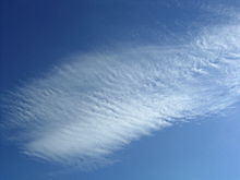
- 1CirrusThin, wispy, feather-like clouds. Made of ice crystals. Indicate good weather.

- 2CirrocumulusSmall, high altitude rounded white puffs that appear in long rows. In tropical regions they may indicate an approaching hurricane.

- 3CirrostratusThin, sheetlike, high altitude. They come 12-24 hours before a rain/snow storm.
- 4CumulusWhite, puffy clouds that look like pieces of floating cotton. They can develop into cumulonimbus clouds (thunderstorm clouds).

- 5AltocumulusMid-level clouds that are made of water droplets. Appear as grey, puffy masses. Usually form in groups. Expect thunderstorms in late afternoon.

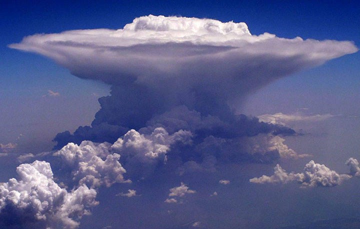
- 6CumulonimbusHigh winds can flatten the top of these clouds into an anvil-like shape. Associated with heavy rain, snow, hail, lightning and even tornadoes.
- 7StratocumulusLow, lumpy and grey. Characterised by large dark, rounded masses, usually in groups, lines or waves.

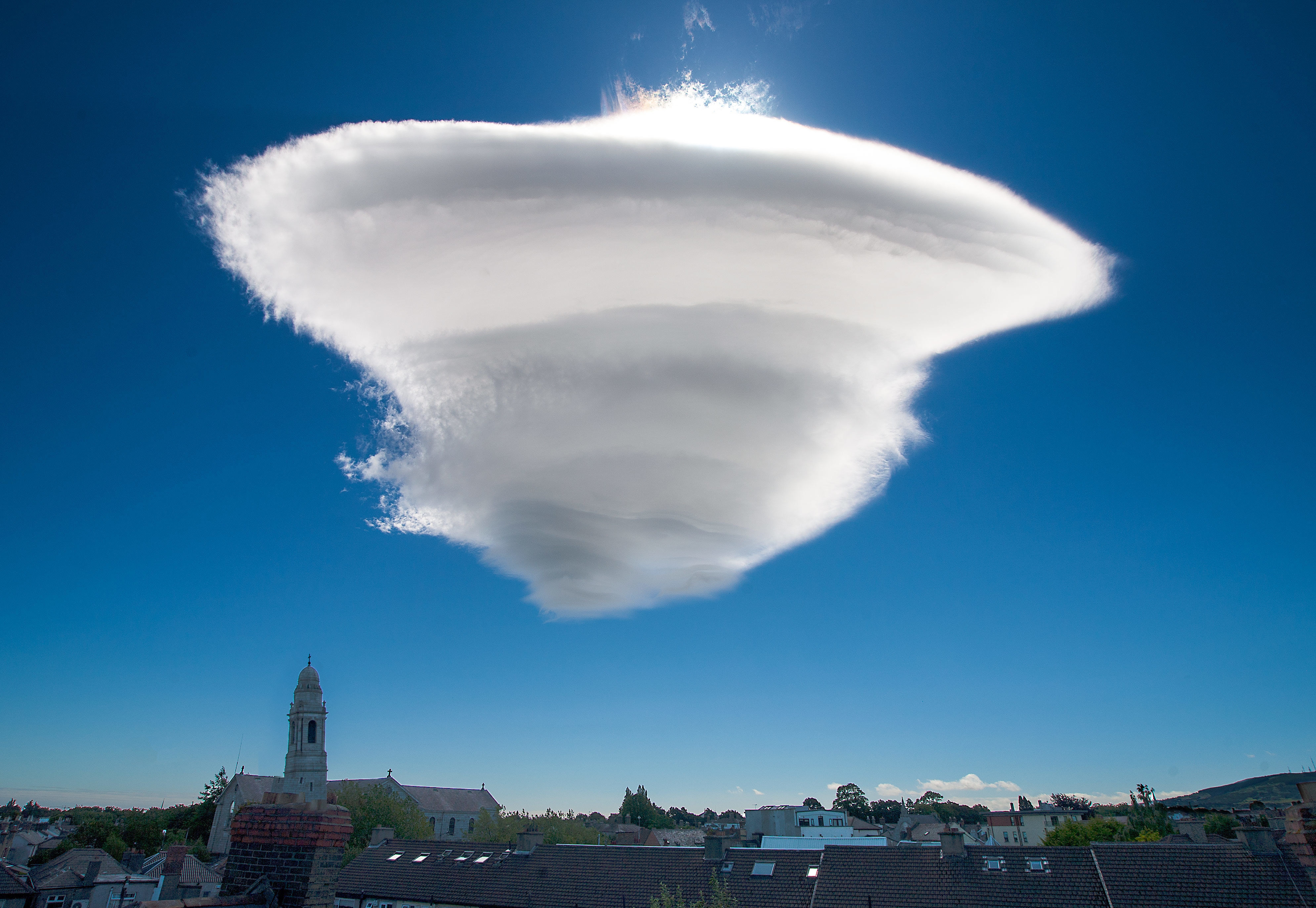
- 8LenticularMade by wave wind patterns created by the mountains.
- 9StratusUniform greyish clouds hat often cover the entire sky. They resemble fog that doesn't reach the ground.
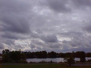
- 10AltostratusGrey or blue mid-level clouds that usually cover the whole sky. Sun or moon may shine through these clouds, but will appear watery or fuzzy. These indicate a storm with continuous rain or snow.
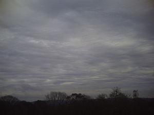
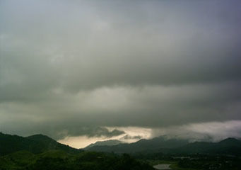
- 11NimbostratusThese form a dark grey, wet cloudy layer associated with continuously falling rain or snow.
Informationen
- Beschreibung
- Karteikarten am Cloud Types, erstellt von Sanika Kale am 27/05/2019.
- Erstellt von
- Sanika Kale
- Aufrufe
- 241
- Tags
- Bewertung