
Mindmap
Mount Etna 2002
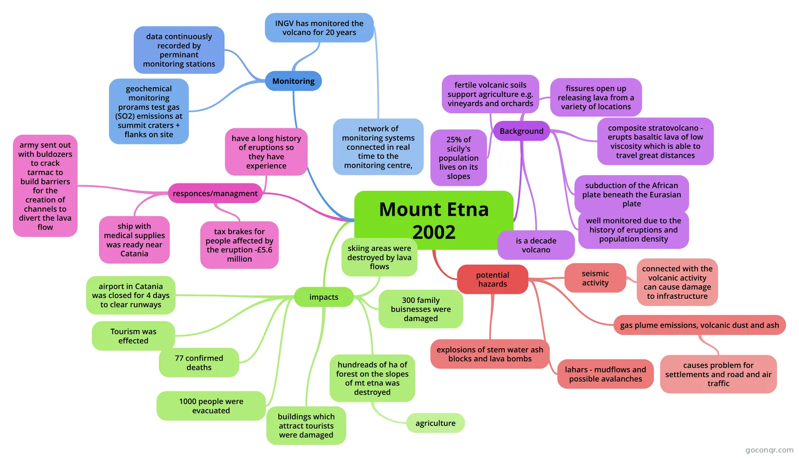
Mind map: Mount Etna 2002 eruption
Inhalt der Mindmap
Mount Etna 2002
Monitoring
- data continuously recorded by perminant monitoring stations
- geochemical monitoring prorams test gas (SO2) emissions at summit craters + flanks on site
- INGV has monitored the volcano for 20 years
- network of monitoring systems connected in real time to the monitoring centre,
Background
- fertile volcanic soils support agriculture e.g. vineyards and orchards
- fissures open up releasing lava from a variety of locations
- composite stratovolcano - erupts basaltic lava of low viscosity which is able to travel great distances
- subduction of the African plate beneath the Eurasian plate
- 25% of sicily's population lives on its slopes
- well monitored due to the history of eruptions and population density
- is a decade volcano
potential hazards
- seismic activity
- connected with the volcanic activity can cause damage to infrastructure
- gas plume emissions, volcanic dust and ash
- causes problem for settlements and road and air traffic
- lahars - mudflows and possible avalanches
- explosions of stem water ash blocks and lava bombs
- seismic activity
responces/managment
- army sent out with buldozers to crack tarmac to build barriers for the creation of channels to divert the lava flow
- have a long history of eruptions so they have experience
- ship with medical supplies was ready near Catania
- tax brakes for people affected by the eruption -£5.6 million
impacts
- airport in Catania was closed for 4 days to clear runways
- Tourism was effected
- 77 confirmed deaths
- 1000 people were evacuated
- skiing areas were destroyed by lava flows
- buildings which attract tourists were damaged
- 300 family buisnesses were damaged
- hundreads of ha of forest on the slopes of mt etna was destroyed
- agriculture
Informationen
- Beschreibung
- A-Levels Geography (tectonics) Mindmap am Mount Etna 2002, erstellt von courtney.m.w am 28/05/2013.
- Erstellt von
- courtney.m.w
- Aufrufe
- 91
- Tags
- Bewertung