
Fichas
Geography
Fichas del conjunto (63)
- 1What does space mean?The spatial distribution of an area. How is it organised or managed? What is the purpose of that space?
- 2What does place mean?They give meaning, help to identity with something, local or global and can mean different things to different people.
- 3What does interconnection mean?Nothing happens in isolation but everything is connected in some way or another.
- 4What does change mean?A way of explaining geographic phenomena and processes.
- 5What does environment mean?Talks about how humans relate to the environment (interrelating).
- 6What does sustainability mean?The process of living in such a way that guarantees the environment is still there for future generations.
- 7What does scale mean?The concept of scale is examining geographic phenomena from a number of different spatial levels.
- 8What are biomes?Communities of plants and animals in a large area with similar climate.
- 9Why are biomes different?Latitude
Altitude and Landforms
Ocean currents and air movement - 10Factor #1: LatitudeThe closer to the equator -> the higher amount of solar energy that reaches that part of earth -> the more energy for plants to grow and survive.
- 11Factor #2: Altitude and landformsTemperatures fall by 0.65 degrees for every 100 metres increase in elevation.
- 12Factor 3: Ocean currents and air movementWhen cold air currents flow close to warm land masses deserts form. This is due to the less evaporation making the air drier.
- 13What is in North Australia?Tropical rainforest and grasslands.
- 14What is in central Australia?Desert.
- 15What is in South Australia?Temperate forests and grasslands.
- 16What is in coastal Australia?Vast wetlands and coastal ecosystems.
- 17What are Australia's major biomes?Wetlands and rivers
Grasslands
Seagrass meadows
Old-growth forest
Desert - 18Why is soil important?Soil is important as it determines which plants and animals inhabit a particular biome.
- 19The characteristics of soil are determined by:Temperature
Rainfall
Soil moisture
Nutrient content
Vegetation
Length of growing season - 20What are the different soil layers called?Horizons.
- 21What else is in soil?Earthworms.
- 22What do earthworms do for soil?Compost waste
Fertilise soil
Improve drainage and aeration
Secrete nitrogen and chemicals that help bind soil - 23Why do we need food?Food provides the essential nutrients for the body to sustain and maintain a healthy life.
- 24What are the spatial issues with our food?As population increases, the amount of arable land is decreasing which means there is little land available for agricultural expansion.
- 25What is an agricultural yield?The mass of product that comes out of an agricultural area.
- 26What will influence agricultural yield?Climate
Management practices
Types of crops grown
Fertiliser - 27What ENVIRONMENTAL factors have helped improve agricultural yield?Increased agricultural output
More intensive use of land
Spread of improved crop varieties - 28What ECONOMIC factors have helped improve agricultural yield?- Growth in world trade in food/agriculture
- Increased in imports of food and fertiliser into developing countries - 29What is the Green Revolution?A revolution from the development and planting of new hybrids of cereals, rice and pesticides.
- 30Why did governments support the Green Revolution?Governments have supported this growth from high yield varieties as it led to rapid increase of cereal crops and exports.
- 31What is a hybrid?Plant or animal bred from two or more different species to attain the best features of the different stocks.
- 32What are the three main food staples?Wheat, maize and fish.
- 33Why are plants food staples?Over 50,000 species of plants + inexpensive/readily available.
- 34Why is the production of maize unsustainable?Unsustainable water usage through irrigation
High nitrogen use - 35What are the four types of traditional agriculture?Nomadic herding, Hunters and Gatherers, Shifting Agriculture and Yield
- 36What is shifting agriculture?Small amounts of land are used to produce food for a time then abandoned when they become less productive so can recover naturally.
- 37Describe how biomes are created:Biomes are created by the interactions of the four spheres of the biophysical environment.
- 38What are the Earth's Four Spheres?Lithosphere, Atmosphere, Biosphere, Hydrosphere
- 39What is lithosphere?Earth’s crust, rocks and soil.
- 40What is hydrosphere?Water bodies, lakes, rivers, streams, groundwater and icecaps.
- 41What is atmosphere?Gases surrounding the earth.
- 42What is biosphere?Living things including plants and animals.
- 43Why have biomes been altered?Biomes have been altered to meet the growing production demands due to technological developments.
- 44What are the four ways biomes can be altered?Climate, Crops, Soil and Landscapes
- 45How can climate be modified?Irrigation: The artificial application of water in dry areas or periods of inadequate rainfall
Greenhouses: An artificial biotic environment to protect crops from heat, cold and pests. - 46How can soil be modified?Fertilisers: are used to supply plants with nutrients.
- 47How can landscapes be modified?Land Reclamation: new land is created from seas, rivers or lakes.
Undulating land: having the land flattened, developing steep slopes, stepping the land, draining wetlands. - 48Why do we clear forests in the Amazon?Timber and paper production
Mining
Flood forests for hydroelectric dams
Food production (small scale sustenance + large scale cattle grazing) - 49What is the impact of clearing forests?Loss of habitat, runoff into lakes (with pesticides) and soil fertility can be damaged.
- 50What is deforestation?Clearing trees to make way for housing or agricultural development.
- 51What do trees give us?Wood, food products and biological diversity
Habitat for animals and insects
Absorbs greenhouse gas
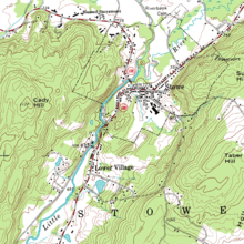
Oxygen - 52The spacing of contour lines determines:The spacing of contour lines indicate either a steep slope (close). or gentle slope (wide).
- 53—Topographic
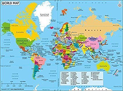
- 54—Political
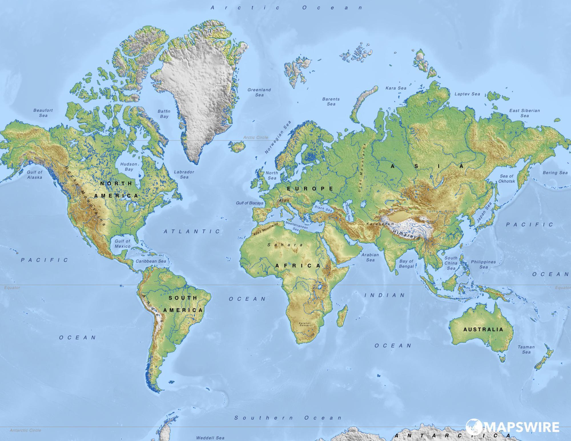
- 55—Physical
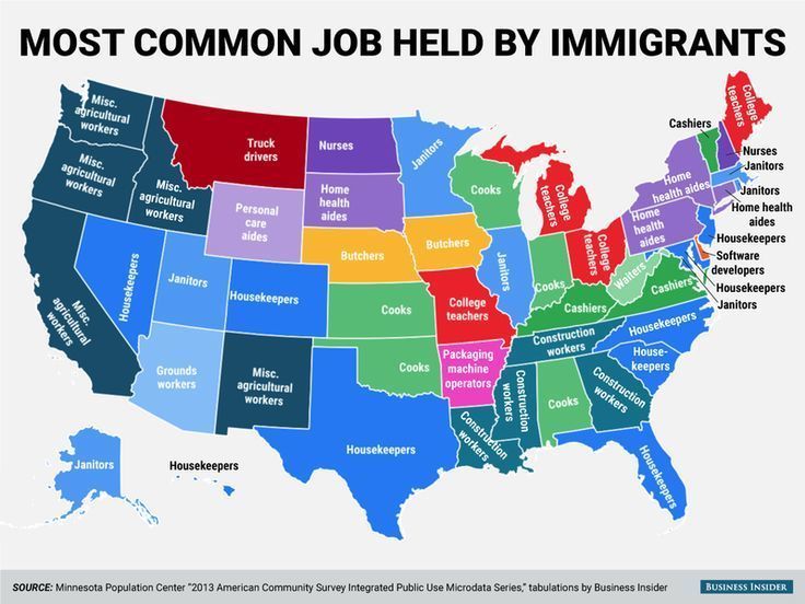
- 56—Thematic
- 57Ground view images:Shows how a feature would look if you were standing near it and gives a good impression of height and the shape of objects.
- 58Oblique Aerial View:Gives a better idea of height and shape, but objects may be hidden.
- 59Vertical Aerial View:Gives a bird’s eye view and is taken directly from above.
- 60Satellite images:Assists Geographers to cover a large area than photos from an aircraft.
- 61Eastings or Northings first?Eastings.
- 62Latitude or Longitude first?Latitude.
- 63What is the largest cause of deforestation?Making way for cattle pastures.