
Mapa mental
Increasing risks
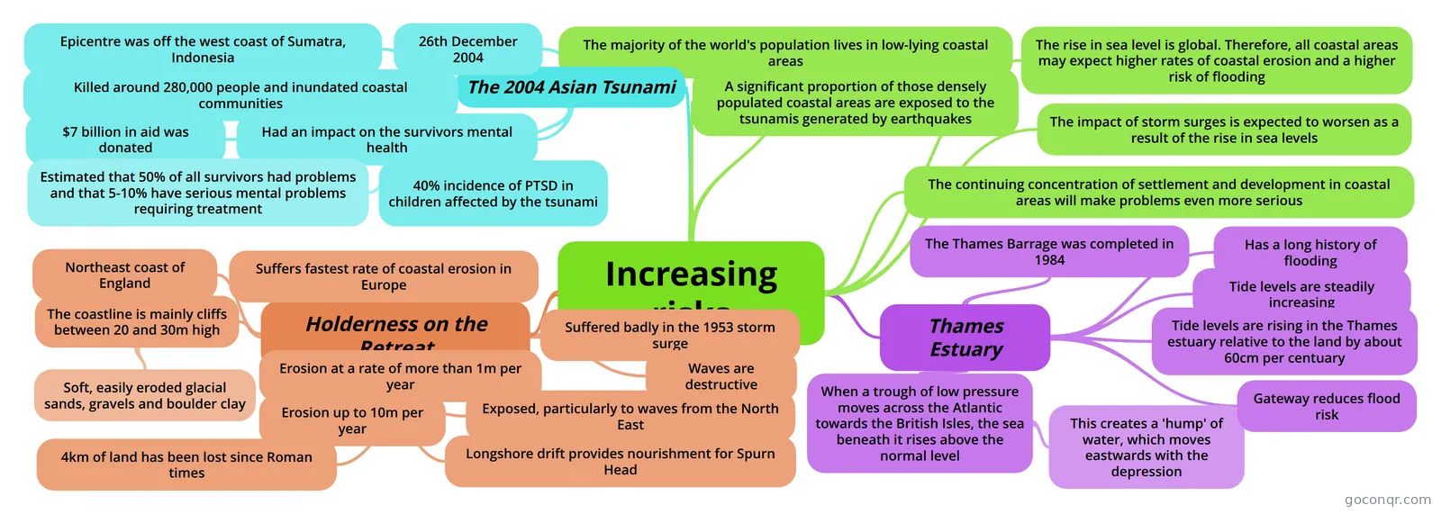
Mind map: increasing coastal risks
Contenido del mapa
Increasing risks
The majority of the world's population lives in low-lying coastal areas
A significant proportion of those densely populated coastal areas are exposed to the tsunamis generated by earthquakes
The impact of storm surges is expected to worsen as a result of the rise in sea levels
The rise in sea level is global. Therefore, all coastal areas may expect higher rates of coastal erosion and a higher risk of flooding
The continuing concentration of settlement and development in coastal areas will make problems even more serious
The 2004 Asian Tsunami
- 26th December 2004
- Epicentre was off the west coast of Sumatra, Indonesia
- Killed around 280,000 people and inundated coastal communities
- $7 billion in aid was donated
- Had an impact on the survivors mental health
- Estimated that 50% of all survivors had problems and that 5-10% have serious mental problems requiring treatment
- 40% incidence of PTSD in children affected by the tsunami
Holderness on the Retreat
- Northeast coast of England
- Suffers fastest rate of coastal erosion in Europe
- The coastline is mainly cliffs between 20 and 30m high
- Soft, easily eroded glacial sands, gravels and boulder clay
- Erosion at a rate of more than 1m per year
- Erosion up to 10m per year
- 4km of land has been lost since Roman times
- Suffered badly in the 1953 storm surge
- Exposed, particularly to waves from the North East
- Waves are destructive
- Longshore drift provides nourishment for Spurn Head
Thames Estuary
- Has a long history of flooding
- Tide levels are steadily increasing
- Tide levels are rising in the Thames estuary relative to the land by about 60cm per centuary
- When a trough of low pressure moves across the Atlantic towards the British Isles, the sea beneath it rises above the normal level
- This creates a 'hump' of water, which moves eastwards with the depression
- The Thames Barrage was completed in 1984
- Gateway reduces flood risk
Información
- Descripción
- A-Levels (Crowded Coasts) Geography Mapa Mental sobre Increasing risks, creado por Jodie Goodacre el 28/04/2013.
- Creado por
- Jodie Goodacre
- Visitas
- 155
- Etiquetas
- Valoración