
Mapa mental
Factors affecting the shape of a hydrograph
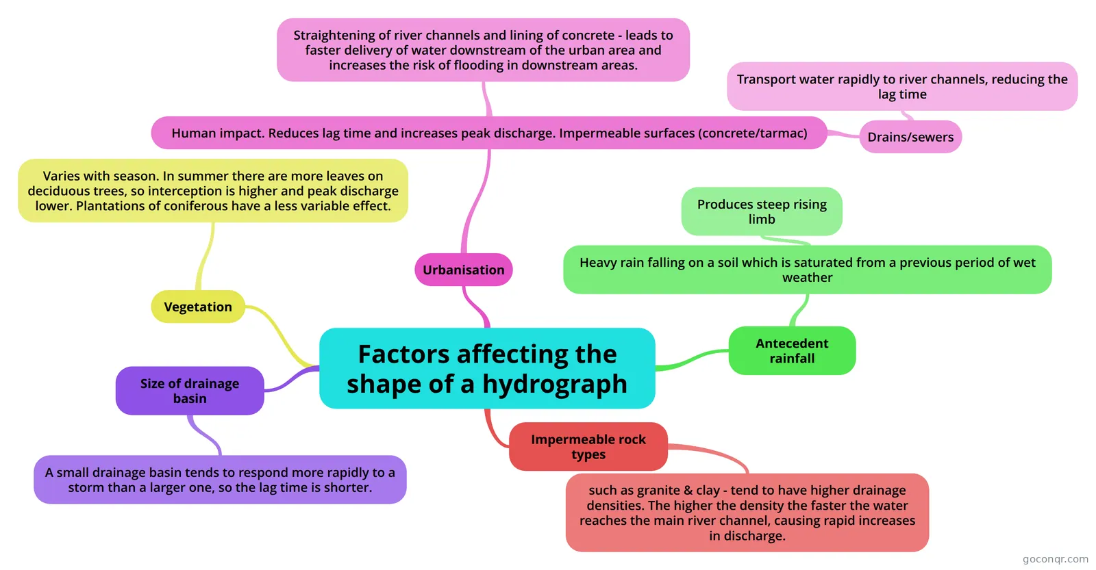
Mind map: Factors affecting the shape of a hydrograph
Contenido del mapa
Factors affecting the shape of a hydrograph
Antecedent rainfall
- Heavy rain falling on a soil which is saturated from a previous period of wet weather
- Produces steep rising limb
- Heavy rain falling on a soil which is saturated from a previous period of wet weather
Impermeable rock types
- such as granite & clay - tend to have higher drainage densities. The higher the density the faster the water reaches the main river channel, causing rapid increases in discharge.
Size of drainage basin
- A small drainage basin tends to respond more rapidly to a storm than a larger one, so the lag time is shorter.
Vegetation
- Varies with season. In summer there are more leaves on deciduous trees, so interception is higher and peak discharge lower. Plantations of coniferous have a less variable effect.
Urbanisation
- Human impact. Reduces lag time and increases peak discharge. Impermeable surfaces (concrete/tarmac)
- Drains/sewers
- Transport water rapidly to river channels, reducing the lag time
- Straightening of river channels and lining of concrete - leads to faster delivery of water downstream of the urban area and increases the risk of flooding in downstream areas.
- Drains/sewers
- Human impact. Reduces lag time and increases peak discharge. Impermeable surfaces (concrete/tarmac)
Información
- Descripción
- A Levels Geography Mapa Mental sobre Factors affecting the shape of a hydrograph, creado por RachBenson el 04/04/2014.
- Creado por
- RachBenson
- Visitas
- 2.804
- Etiquetas
- Valoración