
Mind map
River discharge & hydrographs
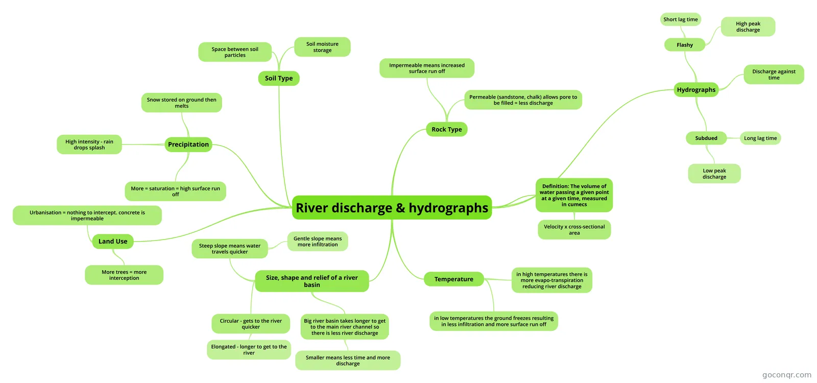
Mind map: river discharge and hydrographs
Map content
River discharge & hydrographs
Definition: The volume of water passing a given point at a given time, measured in cumecs
- Velocity x cross-sectional area
Temperature
- in low temperatures the ground freezes resulting in less infiltration and more surface run off
- in high temperatures there is more evapo-transpiration reducing river discharge
Size, shape and relief of a river basin
- Big river basin takes longer to get to the main river channel so there is less river discharge
- Smaller means less time and more discharge
- Circular - gets to the river quicker
- Elongated - longer to get to the river
- Steep slope means water travels quicker
- Gentle slope means more infiltration
- Big river basin takes longer to get to the main river channel so there is less river discharge
Rock Type
- Permeable (sandstone, chalk) allows pore to be filled = less discharge
- Impermeable means increased surface run off
Soil Type
- Space between soil particles
- Soil moisture storage
Precipitation
- More = saturation = high surface run off
- High intensity - rain drops splash
- Snow stored on ground then melts
Land Use
- More trees = more interception
- Urbanisation = nothing to intercept. concrete is impermeable
Hydrographs
- Flashy
- Short lag time
- High peak discharge
- Subdued
- Long lag time
- Low peak discharge
- Discharge against time
- Flashy
Information
- Description
- Geography (Rivers) Mind Map on River discharge & hydrographs, created by maddiemurchie23 on 28/04/2013.
- Created by
- maddiemurchie23
- Views
- 125
- Tags
- Rating