
Mind map
How do the geomorphological processes operate to form river features in the River Darent?
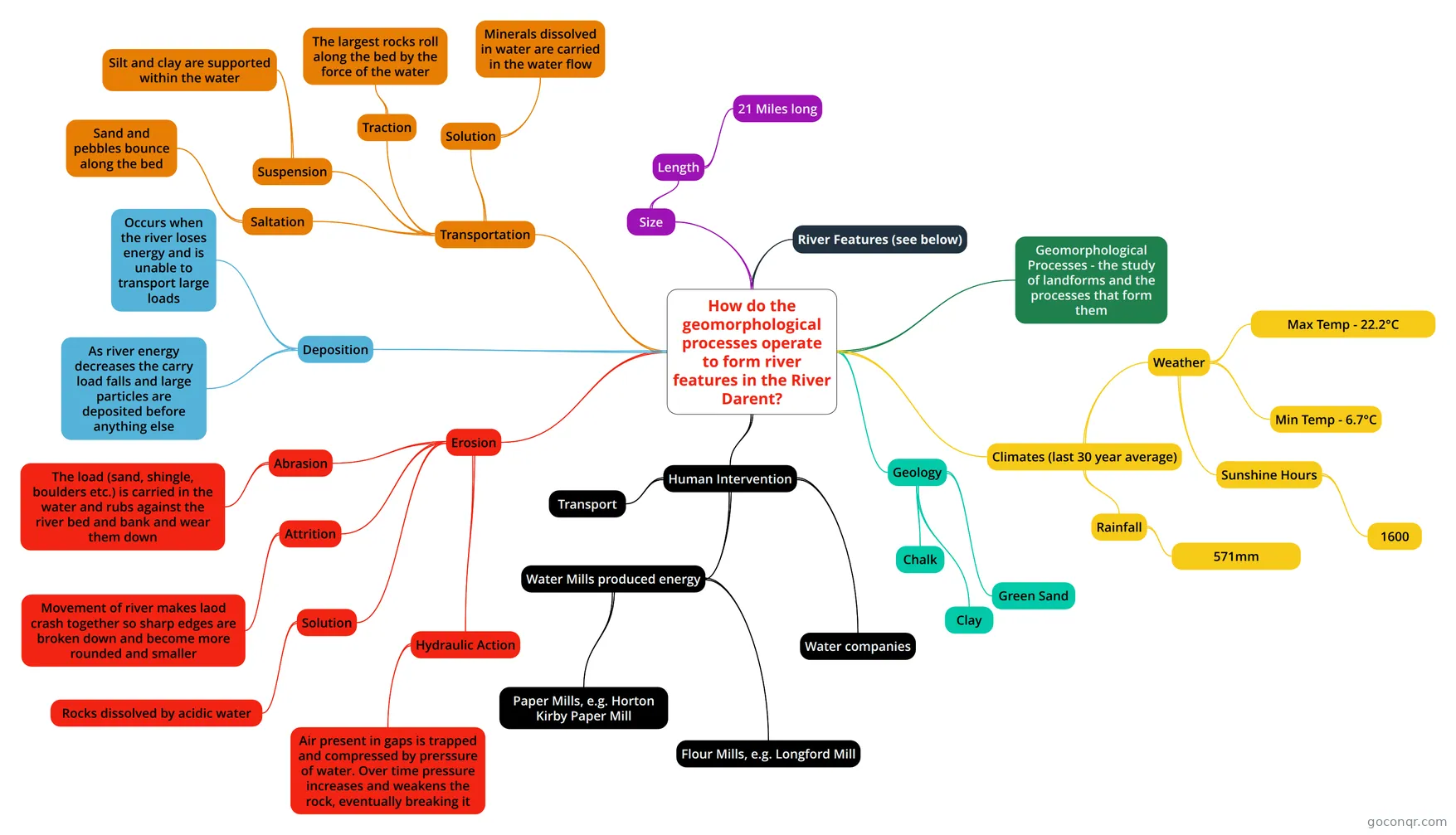
Mind map: geomorphological processes in the River Darent
Map content
How do the geomorphological processes operate to form river features in the River Darent?
Deposition
- Occurs when the river loses energy and is unable to transport large loads
- As river energy decreases the carry load falls and large particles are deposited before anything else
Erosion
- Abrasion
- The load (sand, shingle, boulders etc.) is carried in the water and rubs against the river bed and bank and wear them down
- Attrition
- Movement of river makes laod crash together so sharp edges are broken down and become more rounded and smaller
- Solution
- Rocks dissolved by acidic water
- Hydraulic Action
- Air present in gaps is trapped and compressed by prerssure of water. Over time pressure increases and weakens the rock, eventually breaking it
- Abrasion
Transportation
- Traction
- The largest rocks roll along the bed by the force of the water
- Suspension
- Silt and clay are supported within the water
- Saltation
- Sand and pebbles bounce along the bed
- Solution
- Minerals dissolved in water are carried in the water flow
- Traction
Human Intervention
- Water Mills produced energy
- Paper Mills, e.g. Horton Kirby Paper Mill
- Flour Mills, e.g. Longford Mill
- Transport
- Water companies
- Water Mills produced energy
Climates (last 30 year average)
- Rainfall
- 571mm
- Weather
- Max Temp - 22.2°C
- Min Temp - 6.7°C
- Sunshine Hours
- 1600
- Rainfall
Size
- Length
- 21 Miles long
- Length
Geology
- Chalk
- Green Sand
- Clay
River Features (see below)
Geomorphological Processes - the study of landforms and the processes that form them