
Mapa mental
TIDES and WAVES
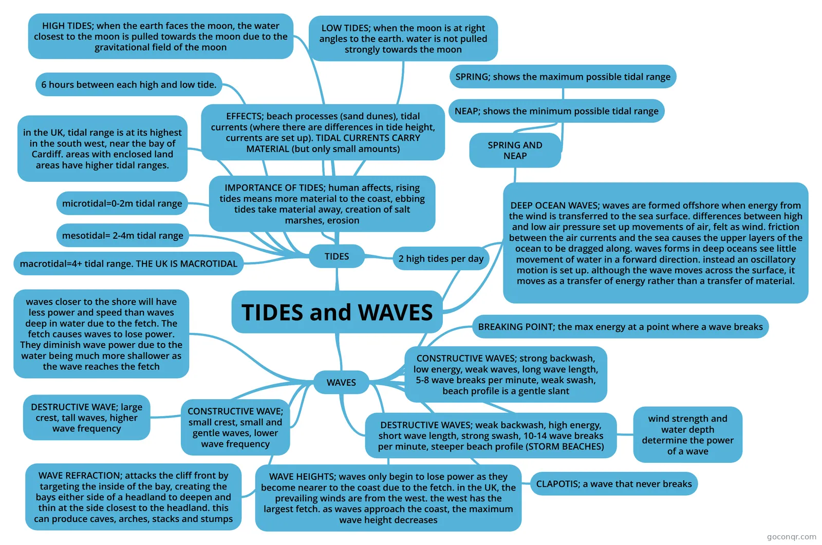
Mind map: tides and waves
Conteúdo do mapa
TIDES and WAVES
WAVES
- waves closer to the shore will have less power and speed than waves deep in water due to the fetch. The fetch causes waves to lose power. They diminish wave power due to the water being much more shallower as the wave reaches the fetch
- DESTRUCTIVE WAVE; large crest, tall waves, higher wave frequency
- CONSTRUCTIVE WAVE; small crest, small and gentle waves, lower wave frequency
- WAVE REFRACTION; attacks the cliff front by targeting the inside of the bay, creating the bays either side of a headland to deepen and thin at the side closest to the headland. this can produce caves, arches, stacks and stumps
- WAVE HEIGHTS; waves only begin to lose power as they become nearer to the coast due to the fetch. in the UK, the prevailing winds are from the west. the west has the largest fetch. as waves approach the coast, the maximum wave height decreases
- DESTRUCTIVE WAVES; weak backwash, high energy, short wave length, strong swash, 10-14 wave breaks per minute, steeper beach profile (STORM BEACHES)
- CONSTRUCTIVE WAVES; strong backwash, low energy, weak waves, long wave length, 5-8 wave breaks per minute, weak swash, beach profile is a gentle slant
- CLAPOTIS; a wave that never breaks
- wind strength and water depth determine the power of a wave
- BREAKING POINT; the max energy at a point where a wave breaks
- DEEP OCEAN WAVES; waves are formed offshore when energy from the wind is transferred to the sea surface. differences between high and low air pressure set up movements of air, felt as wind. friction between the air currents and the sea causes the upper layers of the ocean to be dragged along. waves forms in deep oceans see little movement of water in a forward direction. instead an oscillatory motion is set up. although the wave moves across the surface, it moves as a transfer of energy rather than a transfer of material.
TIDES
- macrotidal=4+ tidal range. THE UK IS MACROTIDAL
- mesotidal= 2-4m tidal range
- microtidal=0-2m tidal range
- in the UK, tidal range is at its highest in the south west, near the bay of Cardiff. areas with enclosed land areas have higher tidal ranges.
- IMPORTANCE OF TIDES; human affects, rising tides means more material to the coast, ebbing tides take material away, creation of salt marshes, erosion
- EFFECTS; beach processes (sand dunes), tidal currents (where there are differences in tide height, currents are set up). TIDAL CURRENTS CARRY MATERIAL (but only small amounts)
- 2 high tides per day
- 6 hours between each high and low tide.
- HIGH TIDES; when the earth faces the moon, the water closest to the moon is pulled towards the moon due to the gravitational field of the moon
- LOW TIDES; when the moon is at right angles to the earth. water is not pulled strongly towards the moon
SPRING AND NEAP
- NEAP; shows the minimum possible tidal range
- SPRING; shows the maximum possible tidal range
Informações
- Descrição
- Mapa Mental sobre TIDES and WAVES, criado por Mia K em 17-01-2019.
- Criado por
- Mia K
- Visualizações
- 0
- Avaliação