
Mapa mental
Marine Navigation
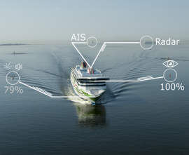
Conteúdo do mapa
Marine Navigation
The moving of a vessel from one place to another
Position: It can be defined by coordinates of latitude and longitude
Latitude: Angular distance from the Equator, measured northward or southward ...
Longitude: Angular distance between the Prime meridian and the meridian of a point on the Earth
- measured Eastward or Westward.
Positions are expressed in degrees and minutes of latitude and longitude.
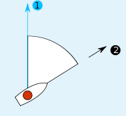
Direction is the position of one point relative to another.
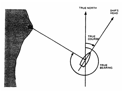
Course: Horizontal direction in which a vessel is intended to be steered.
Distance is the length of the rhumb line connecting two places.
Bearing: Direction of one terrestrial point from another from another, expressed as angular distance from 000 degrees clockwise through 360 degrees.
- Heading: Direction in which a vessel is pointed at any given moment.
Imagens e arquivos do mapa





Informações
- Descrição
- This is an activity to practice some terminology related to Marine Navigation
- Criado por
- César Rivas
- Visualizações
- 286
- Tags
- Avaliação