
Mapa mental
Mississippi
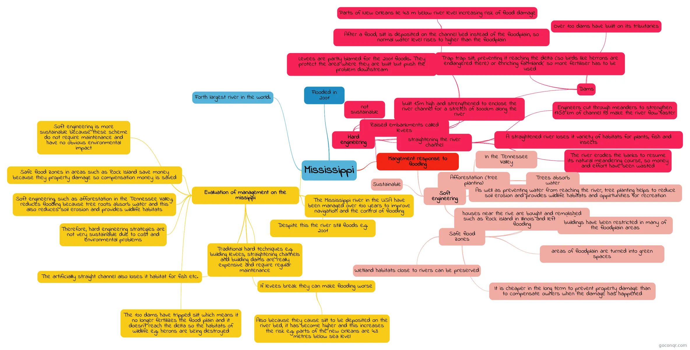
Mind map: Mississippi river management
Contenido del mapa
Mississippi
Forth largest river in the world.
Flooded in 2001
Mangement response to flooding
- Hard engineering
- not sustainable
- Raised embankments called levees
- built 15m high and strengthened to enclose the river channel for a stretch of 3000km along the river
- Levees are partly blamed for the 2001 floods. They protect the area where they are built but push the problem downstream
- After a flood, silt is deposited on the channel bed instead of the floodplain, so normal water level rises to higher than the floodplain
- Parts of New Orleans lie 4.3 m below river level increasing risk of flood damage
- After a flood, silt is deposited on the channel bed instead of the floodplain, so normal water level rises to higher than the floodplain
- Levees are partly blamed for the 2001 floods. They protect the area where they are built but push the problem downstream
- built 15m high and strengthened to enclose the river channel for a stretch of 3000km along the river
- Dams
- Over 100 dams have built on its tributaries
- Trap trap silt, preventing it reaching the delta (so birds like herrons are endangered there) or enriching farmland( so more fertiliser has to be used
- straightening the river channel
- Engineers cut through meanders to strengthen 1750 km of channel to make the river flow faster
- A straightened river loses it variety of habitats for plants, fish and insects
- The river erodes the banks to resume its natural meandering course, so money and effort have been wasted
- Soft engineering
- Afforestation (tree planting)
- In the Tennessee Valley
- Trees absorb water
- As well as preventing water from reaching the river, tree planting helps to reduce soil erosion and provides wildlife habitats and oppirtunities for recreation
- Sustainable
- Safe flood zones
- houses near the rive are bought and remolished such as Rock island in Illinois and left aside for flooding
- buildings have been restricted in many of the floodplain areas
- areas of floodplain are turned into green spaces
- It is cheaper in the long term to prevent property damage than to compensate owners when the damage has happened
- Wetland habitats close to rivers can be preserved
- Afforestation (tree planting)
- Hard engineering
Evaluation of management on the missippi
- The Mississippi river in the USA have been managed over 100 years to improve navigation and the control of flooding
- Despite this the river still floods e.g. 2001
- Traditional hard techniques e.g. building levees, straightening channels and building dams are really expensive and require regular maintenance
- If levees break they can make flooding worse
- Also because they cause silt to be deposited on the river bed, it has become higher and this increases the risk e.g. parts of the new Orleans are 4.3 metres below sea level
- The 100 dams have tripped silt which means it no longer fertilizes the flood plain and it doesn't reach the delta so the habitats of wildlife e.g. herons are being destroyed
- The artificiallly straight channel also loses it habitat for fish etc.
- Therefore, hard engineering strategies are not very sustainable due to cost and environmental problems
- Soft engineering, such as afforestation in the Tennessee Valley, reduces flooding because tree roots absorb water and this also reduces soil erosion and provides wildlife habitats
- Safe flood zones in areas such as Rock Island save money because they property damage so compensation money is saved
- Soft engineering is more sustainable because these scheme do not require maintenance and have no obvious environmental impact
Información
- Descripción
- GCSE Geography Mapa Mental sobre Mississippi, creado por Hannah Ross8882 el 07/11/2015.
- Creado por
- Hannah Ross8882
- Visitas
- 4
- Valoración
Más sobre Flood and River Management