
Mapa mental
Precipitation in Urban Microclimates
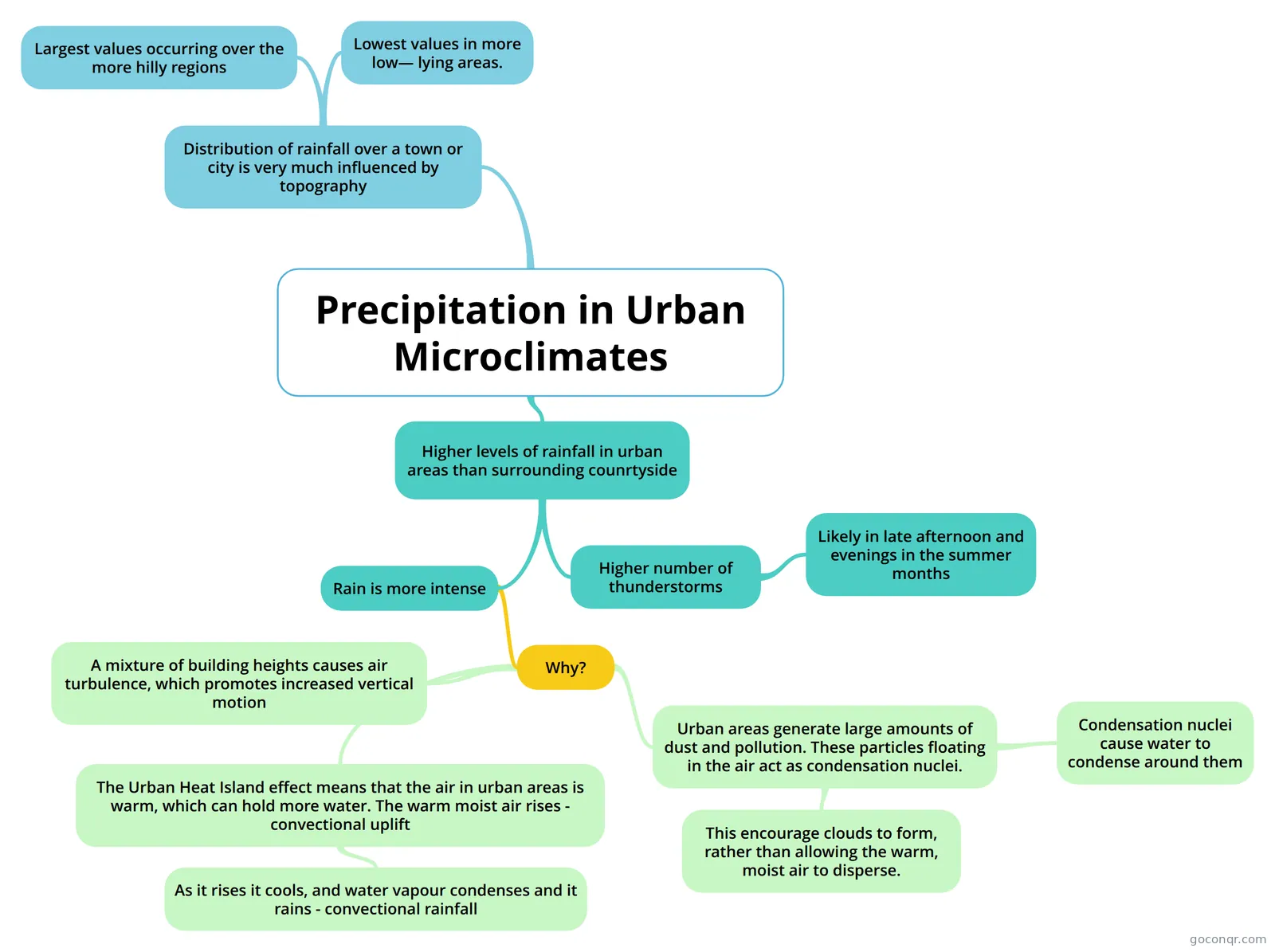
Mind map: Precipitation in urban microclimates
Contenido del mapa
Precipitation in Urban Microclimates
Distribution of rainfall over a town or city is very much influenced by topography
- Largest values occurring over the more hilly regions
- Lowest values in more low— lying areas.
Higher levels of rainfall in urban areas than surrounding counrtyside
- Rain is more intense
- Why?
- The Urban Heat Island effect means that the air in urban areas is warm, which can hold more water. The warm moist air rises - convectional uplift
- As it rises it cools, and water vapour condenses and it rains - convectional rainfall
- Urban areas generate large amounts of dust and pollution. These particles floating in the air act as condensation nuclei.
- Condensation nuclei cause water to condense around them
- This encourage clouds to form, rather than allowing the warm, moist air to disperse.
- A mixture of building heights causes air turbulence, which promotes increased vertical motion
- The Urban Heat Island effect means that the air in urban areas is warm, which can hold more water. The warm moist air rises - convectional uplift
- Why?
- Higher number of thunderstorms
- Likely in late afternoon and evenings in the summer months
- Rain is more intense