
Mapa mental
GPS
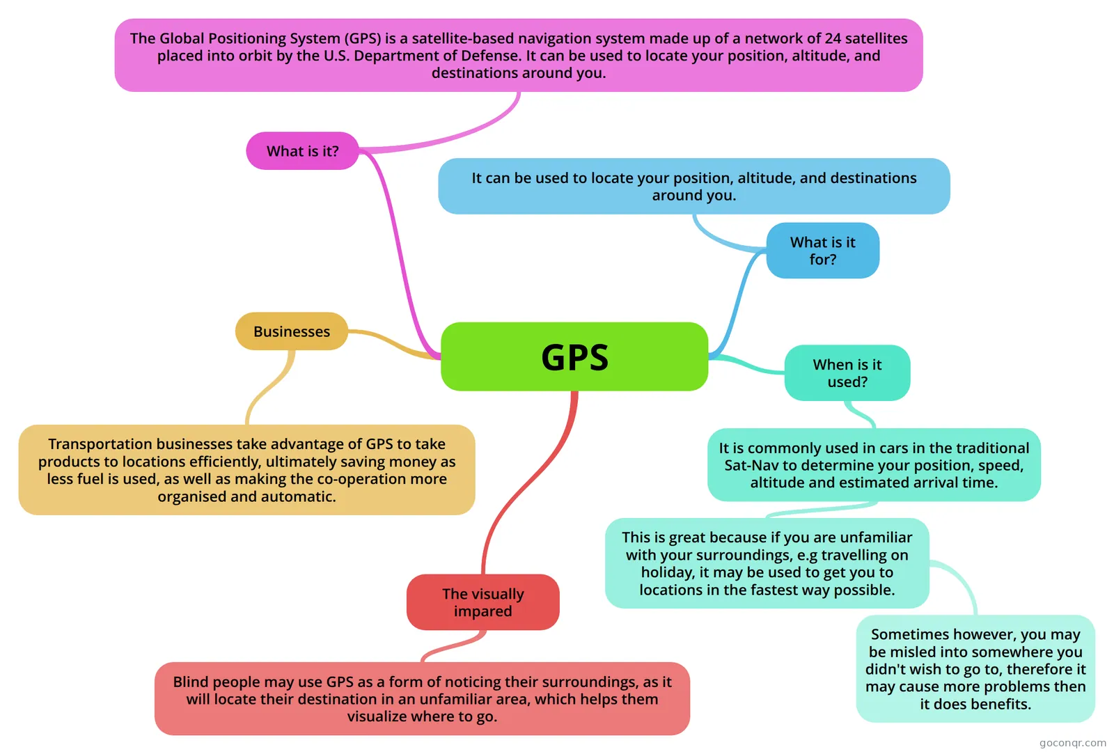
Mind map: GPS
Contenido del mapa
GPS
What is it?
- The Global Positioning System (GPS) is a satellite-based navigation system made up of a network of 24 satellites placed into orbit by the U.S. Department of Defense. It can be used to locate your position, altitude, and destinations around you.
What is it for?
- It can be used to locate your position, altitude, and destinations around you.
When is it used?
- It is commonly used in cars in the traditional Sat-Nav to determine your position, speed, altitude and estimated arrival time.
- This is great because if you are unfamiliar with your surroundings, e.g travelling on holiday, it may be used to get you to locations in the fastest way possible.
- Sometimes however, you may be misled into somewhere you didn't wish to go to, therefore it may cause more problems then it does benefits.
- This is great because if you are unfamiliar with your surroundings, e.g travelling on holiday, it may be used to get you to locations in the fastest way possible.
- It is commonly used in cars in the traditional Sat-Nav to determine your position, speed, altitude and estimated arrival time.
Businesses
- Transportation businesses take advantage of GPS to take products to locations efficiently, ultimately saving money as less fuel is used, as well as making the co-operation more organised and automatic.
The visually impared
- Blind people may use GPS as a form of noticing their surroundings, as it will locate their destination in an unfamiliar area, which helps them visualize where to go.
Información
- Descripción
- GCSE ICT Mapa Mental sobre GPS, creado por Hammo el 13/05/2013.
- Creado por
- Hammo
- Visitas
- 123
- Etiquetas
- Valoración