
Mind map
JAMES COOK
Map content
JAMES COOK
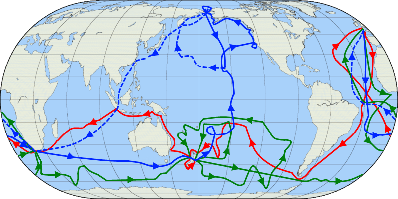
EXPEDITION
- 1st
- England-Rio de Janeiro-Kap Hoorn-Tahití-New Zealand-Australia-Java and Sumatra Islands-England (1768-1771)
- 2nd
- England-Cape Verde-Pacific Ocean-Antartic-New Caledonia-Tasmania-Tahití-New Zealand-Friendly Islands-England (1772-1774)
- 3rd
- England-Atlantic-Pacific Strait-New Zealand-Tahití-Hawaii-Bering Strait-Hawaii (Kealakekua's bay)-Bering Strait-London (1776-1780)* he died in 1979 but they continue exploring till 1780.
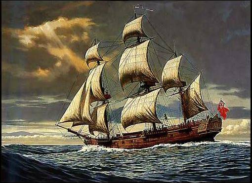
- HMS: 1)Endeavour. 2)Resolution, Adventure. 3)Resolution, Discovery.
- 1st
BIOGRAPHY
- Born in 1728 in UK (North Yorkshire)
- Died in 1979 in USA (Hawaii)
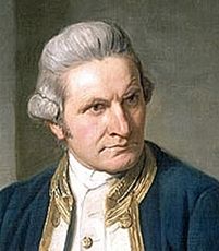
- He was an explorer and a mariner, the most important English explorer.
- Link of a short video about Captain Cook: http://www.captcook-ne.co.uk/ccne/who.htm
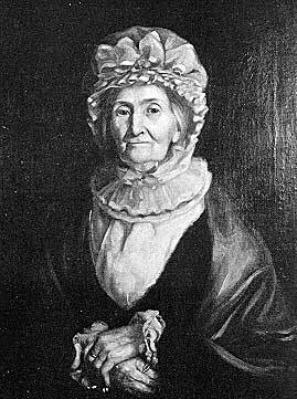
- He got married with Elizabeth Batts
- Nathaniel
- Elizabeth
- Joseph
- George
- Hugh
- James
CONSEQUENCES/DISCOVERINGS
- 1) New Zeland Strait, he believed it was a continent in southern equator.
- 2) Polinesia south islands, Hervey islands, Vanuatu Islands, Las Marquesas, New Caledonia, Sandwich Islands, South Georgia, Antartic is a mass of ice.
- 3) Hawaii islands (Sandwich islands), Cost of Alaska, hidrography of USA, Strait of Bering.
- Geographical accidents
- Islands, seas, bays, barrier reef, canals, archipelagos, coasts, coves, waterways, berings, rivers, oceans, lakes, beaches, icebergs...
Images and files in the map
Information
- Description
- Mind Map on JAMES COOK, created by Irene M on 07/10/2015.
- Created by
- Irene M
- Views
- 59
- Rating