
Flashcards
India: SIze & Location
Cards in this deck (17)
- 1—Here are some question related to the chapter:
There are 12 short questions
&
There are 3 Map Questions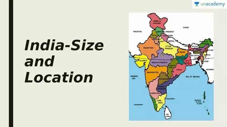
- 2The total length of the coastline of the mainland including Andaman and Nicobar and Lakshadweep is ___ .Ans: 7,516.6 km
- 3The neighbouring countries that share their boundaries with India are ___ .Ans: Pakistan, Afghanistan, Myanmar, Bangladesh, China, Nepal and Bhutan.
- 4What influences the duration of the day and night as one moves from south to north ?Ans: Latitudinal extent
- 5Which ocean has been named after a country ?Answer:
Indian Ocean - 6Which states does not share any international boundary ?Answer:
Madhya Pradesh - 7China is the _________ largest country in the world ?Answer:
Fourth - 8From Gujarat to Arunachal Pradesh, the time lag is _________ .Answer:
2 hours - 9In which year did the Indira Point get submerged under the sea water ?Answer:
Indira Point got submerged under the sea water in 2004 during the Tsunami. - 10Name the state that share border with Myanmar.Answer:
Tripura, Mizoram, Manipur and Nagaland. - 11Which meridian has been selected as the Standard Meridian of India ?Answer:
82°32’E has been selected as the Standard Meridian of India. - 12India’s total area account for about of the total geographical area of the world.Answer:
2.4% - 13Which neighbouring country of India is an island ?Answer:
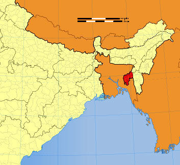
Maldives. - 14Name the Indian State.Answer:
Tripura - 15Name the highlighted Union Territory.Answer:
Ladakh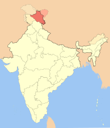
- 16Name the states through which Tropic of cancer passes.Answer:
Gujarat, Rajasthan, Madhya Pradesh, Chhattisgarh, Jharkhand, West Bengal, Tripura and Mizoram.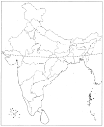
- 17—Made by:
Yashi Bajpai
Information
- Description
- class 9 Geography Flashcards on India: SIze & Location, created by SHAGUN GARG on 21/04/2021.
- Created by
- SHAGUN GARG
- Views
- 652
- Rating