
Geographer's Tools
Slides in this set (22)
-
-
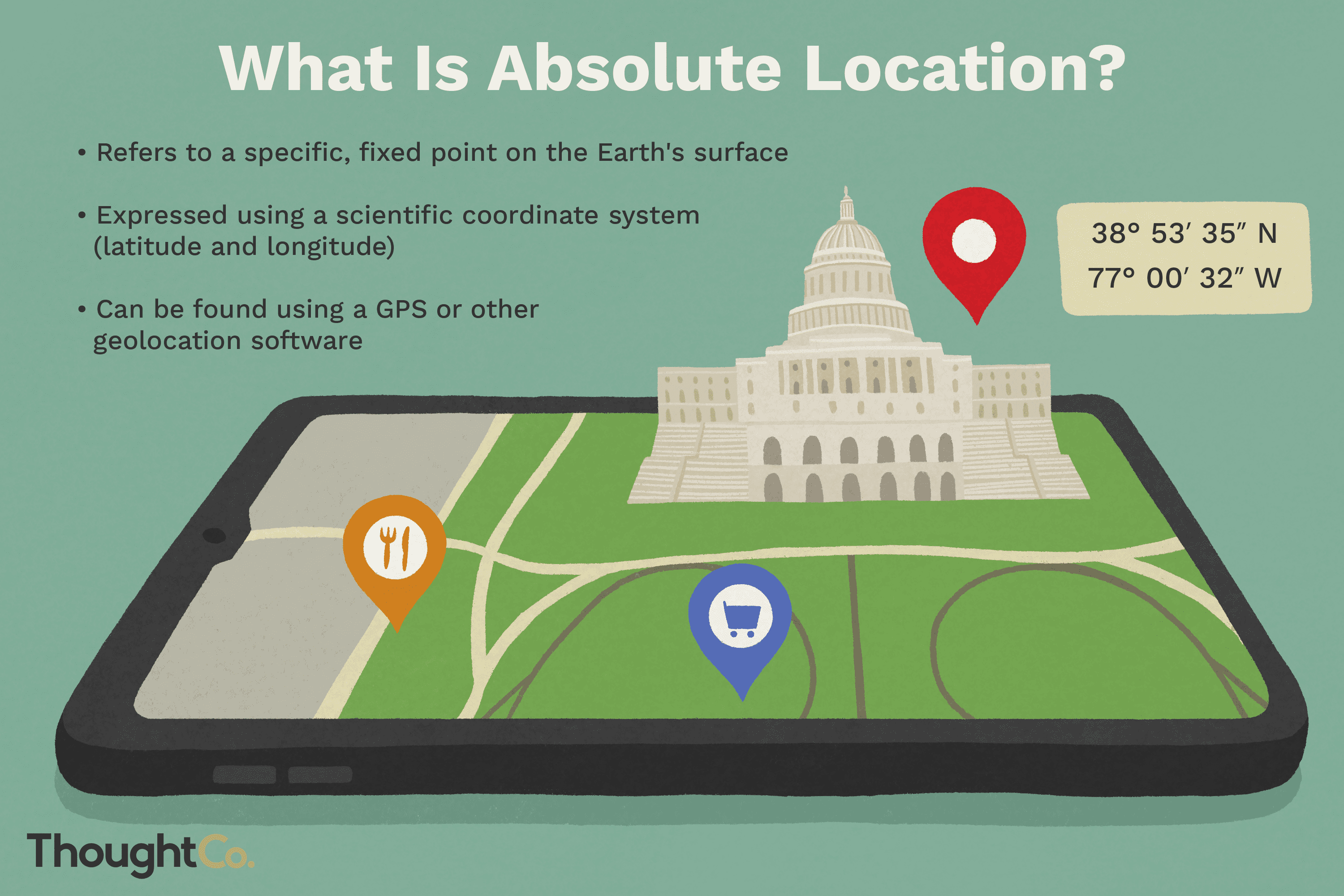
- the precise point where a place is located on earth
-
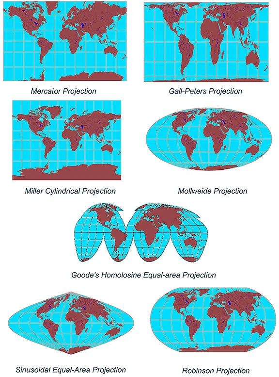
- a change in the shape, size, or position of a place when it is shown on a map
-
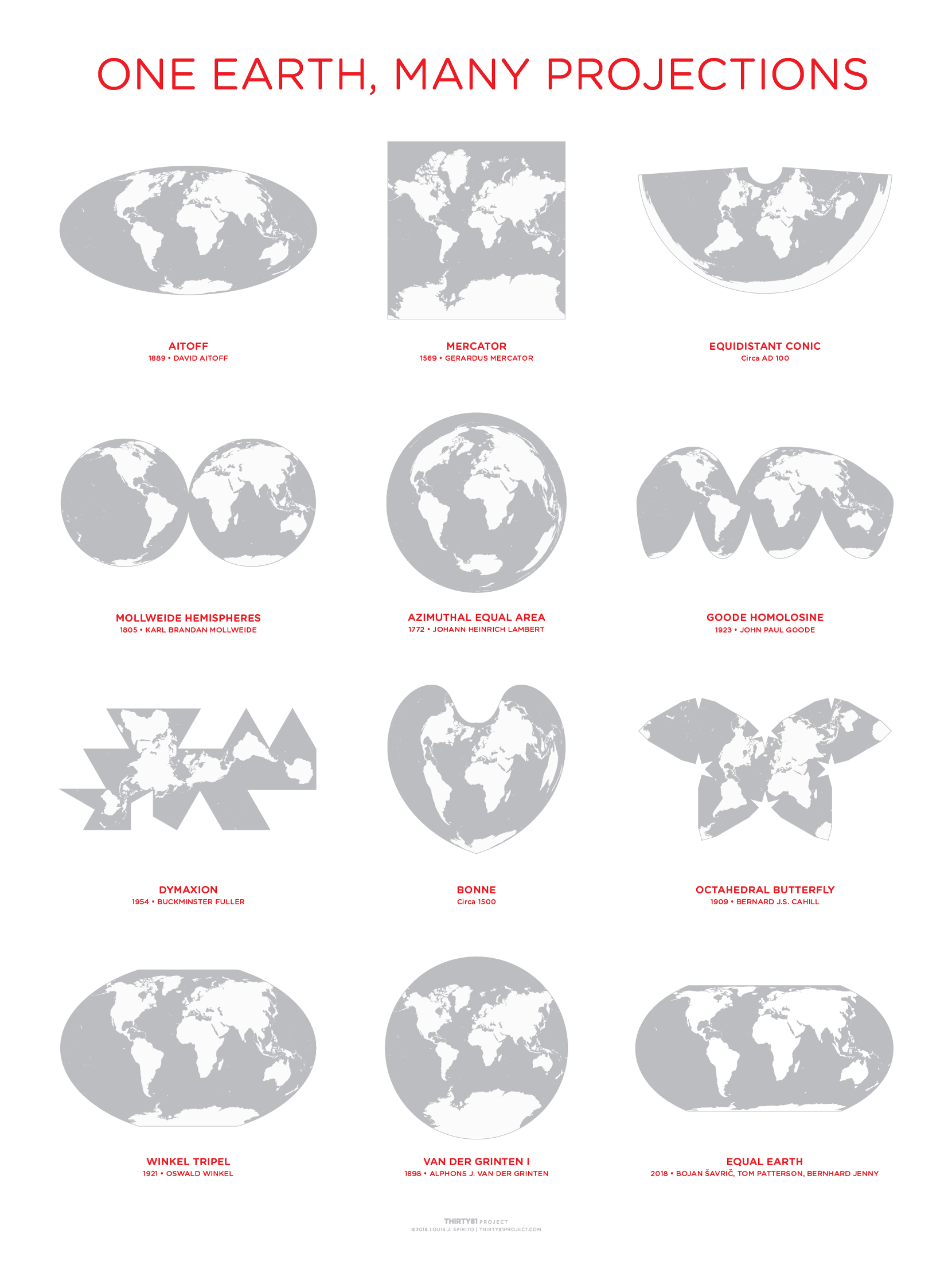
- a way of representing the spherical Earth on a flat surface
-
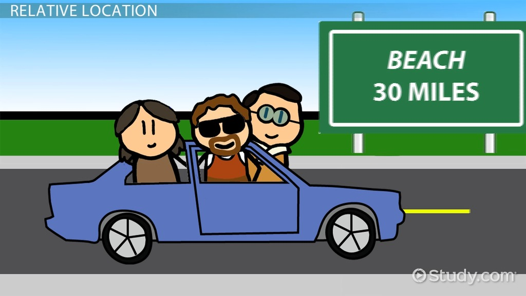
- where a place is located in relation to another place.
-
- the pattern of weather over a long period of time.
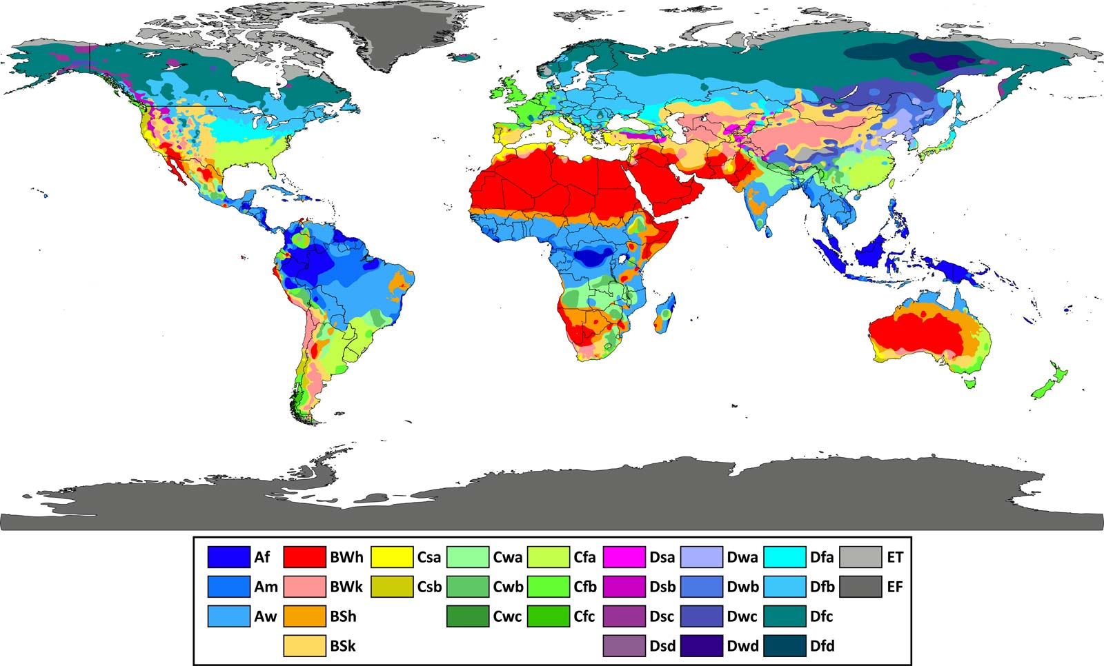
- Caption: Highland Climate (Above)
-
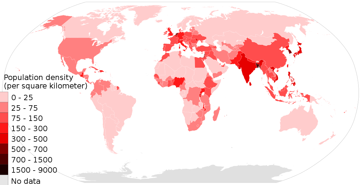
- the average number of people who live in a unit of area, such as a square mile. It measures how crowded an area is.
-
- any natural feature of Earth's surface that has a distinct shape.
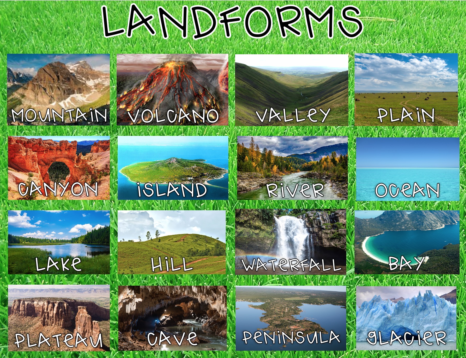
- Caption: Land forms
-
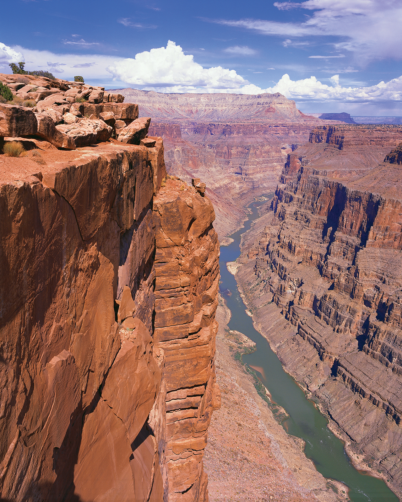
- Caption: The Grand Canyon
- any natural characteristic of earth's surface such as landforms and bodies of water.
-
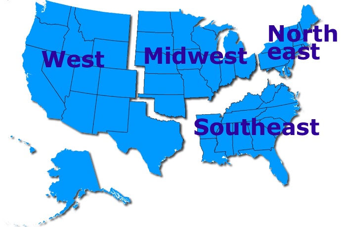
- an area defined by one or more natural or cultural characteristics that set it apart from other areas.
-
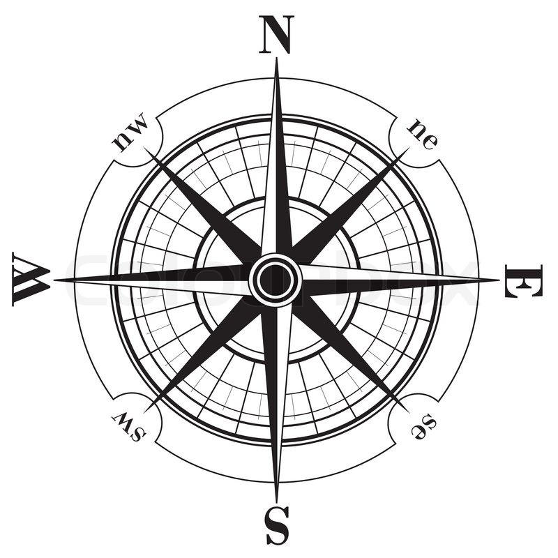
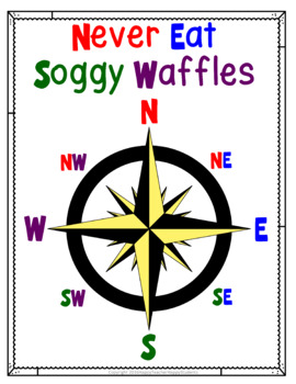
- A tool on a map showing cardinal (N,E,S,W) and intermediate (NE,SE,NW,SW) directions.
-
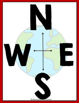
- North, South, East, West
-
- Northeast, Northwest, Southeast, Southwest.
-
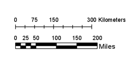
- an element of a map that shows how a unit of distance on the map (such as an inch) relates to actual distance on the surface of Earth.
-
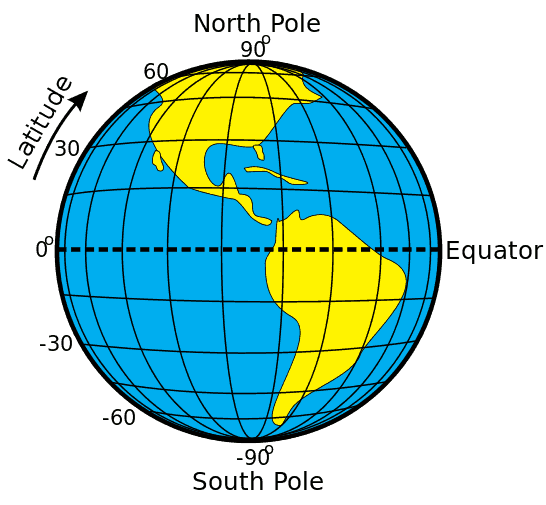
- Distance north or south of the Equator, measured in degrees North or South.
-
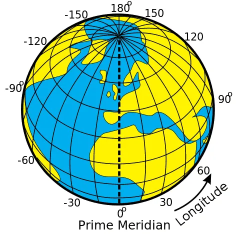
- Distance east or west of the prime meridian, measured in degrees east or West
-
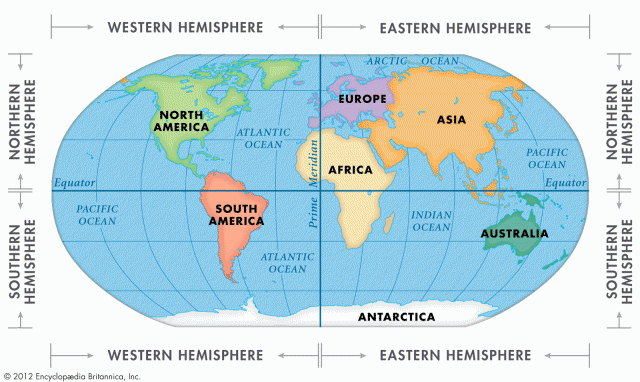
- Sections of the Earth divided by the Equator and Prime Meridian (Northern, Southern, Eastern, and Western).
-
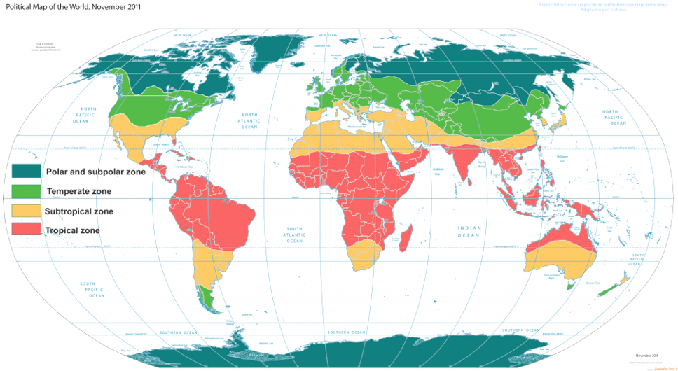
- near the equator; they receive direct or nearly direct sunlight year-round, almost always warm.
-
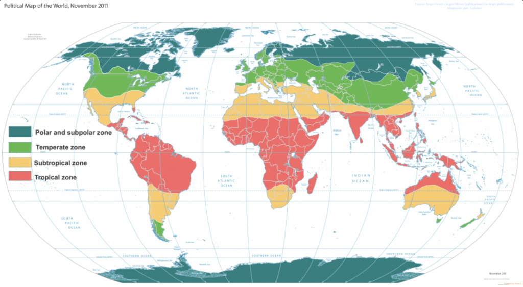
- sit between the polar zones and the tropics: climate is generally warm in the summer and cold in the winter.
-
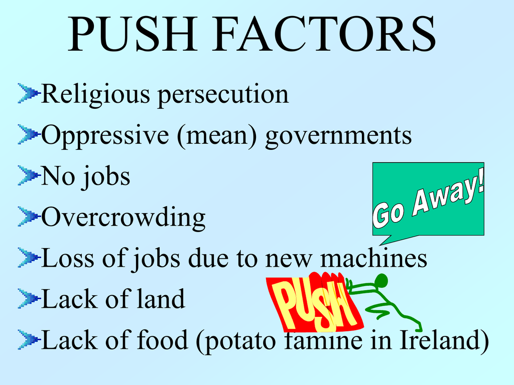
- a condition that drives people from their homeland.
-
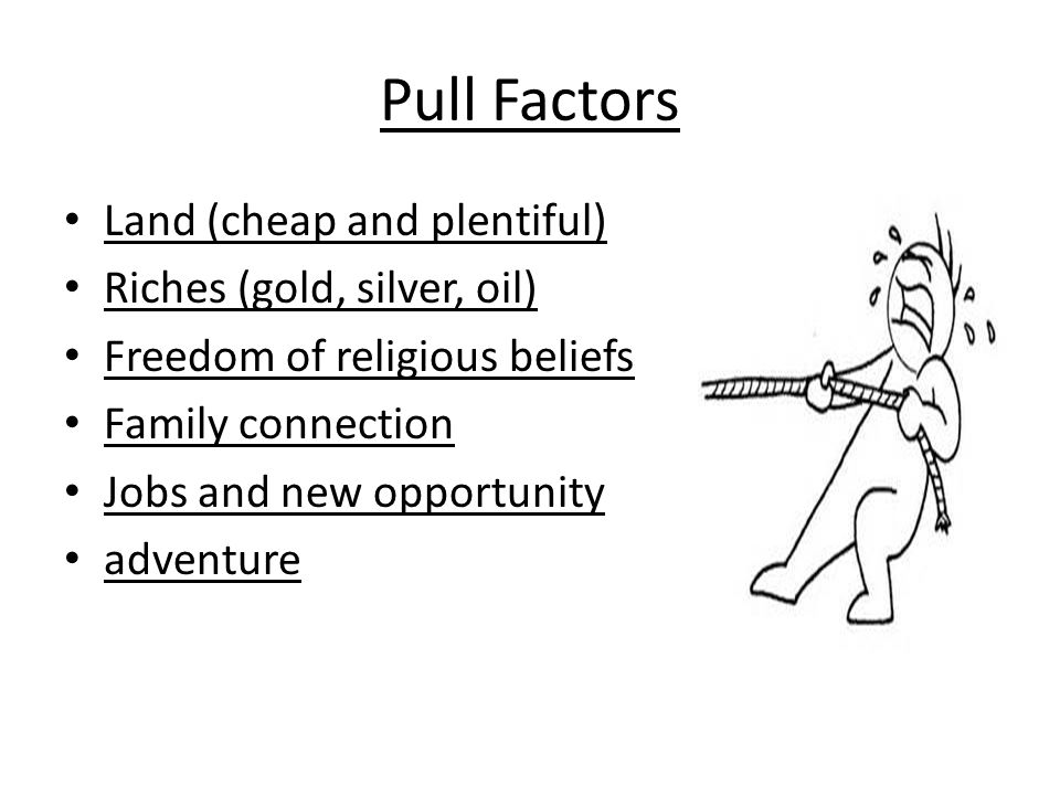
- a condition that attracts people to move to a new area
-
- The study of the distribution and interaction of physical and human features on the earth
Information
- Description
- Slide Set on Geographer's Tools, created by Lillyan Hill on 30/09/2020.
- Created by
- Lillyan Hill
- Views
- 0
- Rating