
Mind map
EXPLORATION 1. Geological Mapping
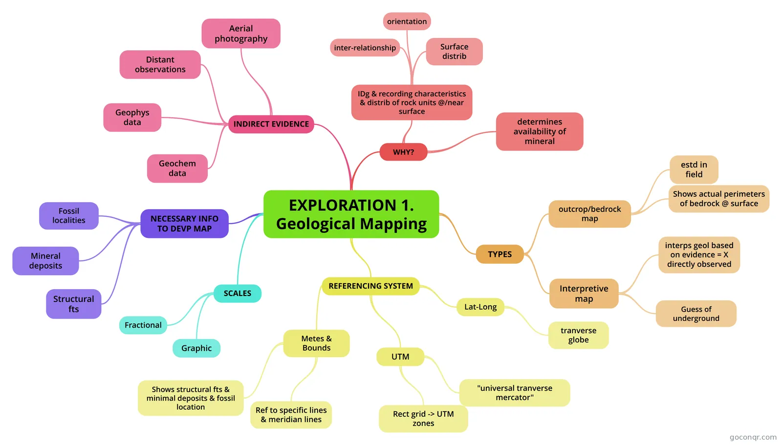
Mind map: Geological mapping
Map content
EXPLORATION 1. Geological Mapping
WHY?
- IDg & recording characteristics & distrib of rock units @/near surface
- Surface distrib
- orientation
- inter-relationship
- determines availability of mineral
- IDg & recording characteristics & distrib of rock units @/near surface
TYPES
- outcrop/bedrock map
- estd in field
- Shows actual perimeters of bedrock @ surface
- Interpretive map
- interps geol based on evidence = X directly observed
- Guess of underground
- outcrop/bedrock map
REFERENCING SYSTEM
- Lat-Long
- tranverse globe
- UTM
- "universal tranverse mercator"
- Rect grid -> UTM zones
- Metes & Bounds
- Ref to specific lines & meridian lines
- Shows structural fts & minimal deposits & fossil location
- Lat-Long
SCALES
- Fractional
- Graphic
NECESSARY INFO TO DEVP MAP
- Structural fts
- Mineral deposits
- Fossil localities
INDIRECT EVIDENCE
- Aerial photography
- Distant observations
- Geophys data
- Geochem data
Information
- Description
- Science Mind Map on EXPLORATION 1. Geological Mapping, created by 13binch on 13/09/2013.
- Created by
- 13binch
- Views
- 100
- Tags
- Rating