
Mind map
Dams/Reservoir Case Study - Kielder Water
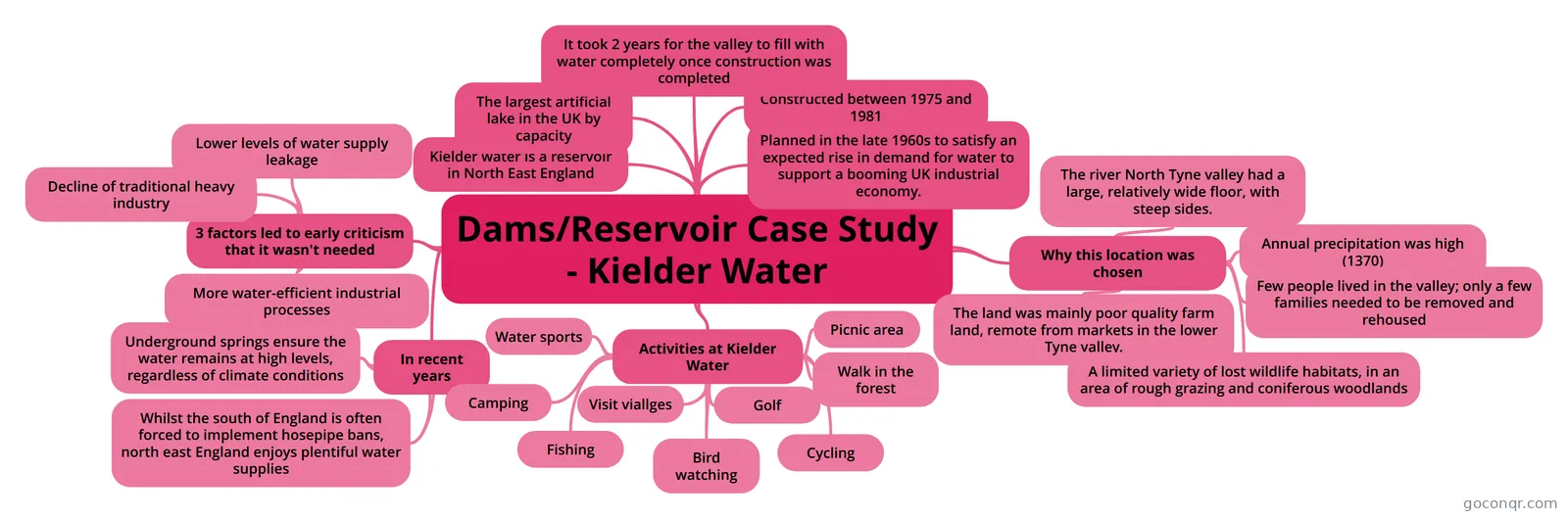
Mind map: Kielder Water dam case study
Map content
Dams/Reservoir Case Study - Kielder Water
Kielder water is a reservoir in North East England
The largest artificial lake in the UK by capacity
Planned in the late 1960s to satisfy an expected rise in demand for water to support a booming UK industrial economy.
Constructed between 1975 and 1981
It took 2 years for the valley to fill with water completely once construction was completed
3 factors led to early criticism that it wasn't needed
- Decline of traditional heavy industry
- More water-efficient industrial processes
- Lower levels of water supply leakage
In recent years
- Underground springs ensure the water remains at high levels, regardless of climate conditions
- Whilst the south of England is often forced to implement hosepipe bans, north east England enjoys plentiful water supplies
Activities at Kielder Water
- Water sports
- Camping
- Picnic area
- Walk in the forest
- Cycling
- Golf
- Bird watching
- Fishing
- Visit viallges
Why this location was chosen
- The river North Tyne valley had a large, relatively wide floor, with steep sides.
- Annual precipitation was high (1370)
- Few people lived in the valley; only a few families needed to be removed and rehoused
- The land was mainly poor quality farm land, remote from markets in the lower Tyne valley.
- A limited variety of lost wildlife habitats, in an area of rough grazing and coniferous woodlands
Information
- Description
- GCSE Geography (Water on the Land (rivers)) Mind Map on Dams/Reservoir Case Study - Kielder Water, created by SEOTP on 06/01/2014.
- Created by
- SEOTP
- Views
- 514
- Tags
- Rating