
Mind map
Case Study- Queensland Floods
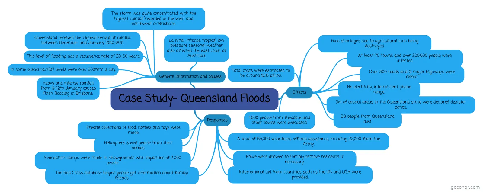
Mind map: Queensland floods case study
Map content
Case Study- Queensland Floods
General information and causes
- Queensland received the highest record of rainfall between December and January 2010-2011.
- The storm was quite concentrated, with the highest rainfall recorded in the west and northwest of Brisbane.
- La nina- intense tropical low pressure seasonal weather also affected the east coast of Australia.
- Heavy and intense rainfall from 9-12th January causes flash flooding in Brisbane.
- This level of flooding has a recurrence rate of 20-50 years.
- In some places rainfall levels were over 200mm a day.
Effects
- Food shortages due to agricultural land being destroyed.
- No electricity, intermittent phone range.
- Over 300 roads and 9 major highways were closed.
- 3/4 of council areas in the Queensland state were declared disaster zones.
- 38 people from Queensland died.
- 1,000 people from Theodore and other towns were evacuated.
- Total costs were estimated to be around $2.8 billion.
- At least 70 towns and over 200,000 people were affected,
Responses
- International aid from countries such as the UK and USA were provided.
- Private collections of food, clothes and toys were made.
- Helicopters saved people from their homes.
- Evacuation camps were made in showgrounds with capacities of 3,000 people.
- The Red Cross database helped people get information about family/ friends.
- A total of 55,000 volunteers offered assistance, including 22,000 from the Army.
- Police were allowed to forcibly remove residents if necessary.
Information
- Description
- This is a case study of flooding in an MEDC, including the causes, effects, and responses.
- Created by
- scarlettrosiex
- Views
- 235
- Tags
- Rating