
Mapa mental
Mass Wasting
Contenido del mapa
Mass Wasting
Types
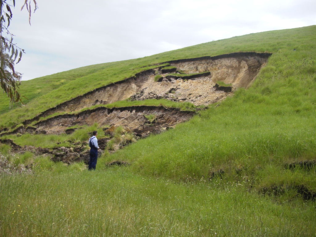
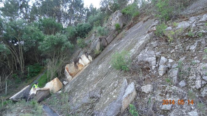
- Slide -Slow or rapid movement of coherent block of rock or soil along a well defined slip-plane
- Planar - Has a flat slip plane
- Rotational - The slip plane is cured inwards (sometime referred to as slumps)
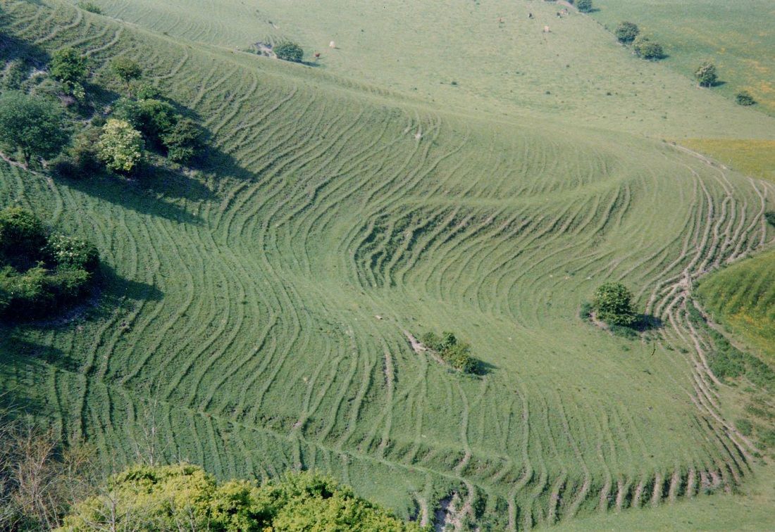
- Creep - Slow transfer of soil downslope by winter freezing and expansion and summer thawing and contraction. This process forms small elongated ridges called terraces.
- Signs of soil creep are: tilted gravestones, bent tree roots, bent telegraph poles, bent fence and tensional cracks in road and paths
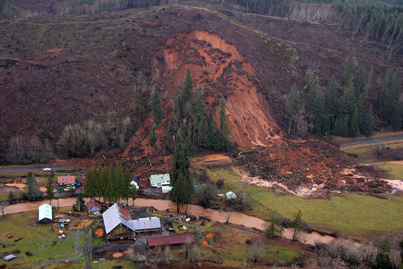
- Flow - An incohesive slurry of rock, soil and water. Usually occurs in sediment and weakly cemented rock. They are triggered by a build up of water pressures. Examples are: Lahars, mudflows or mudslides
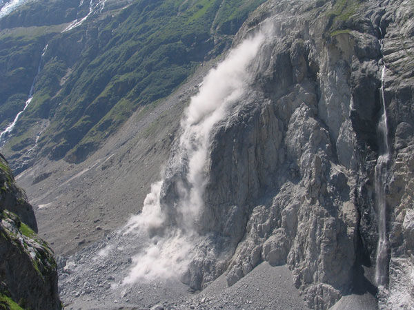
- Fall
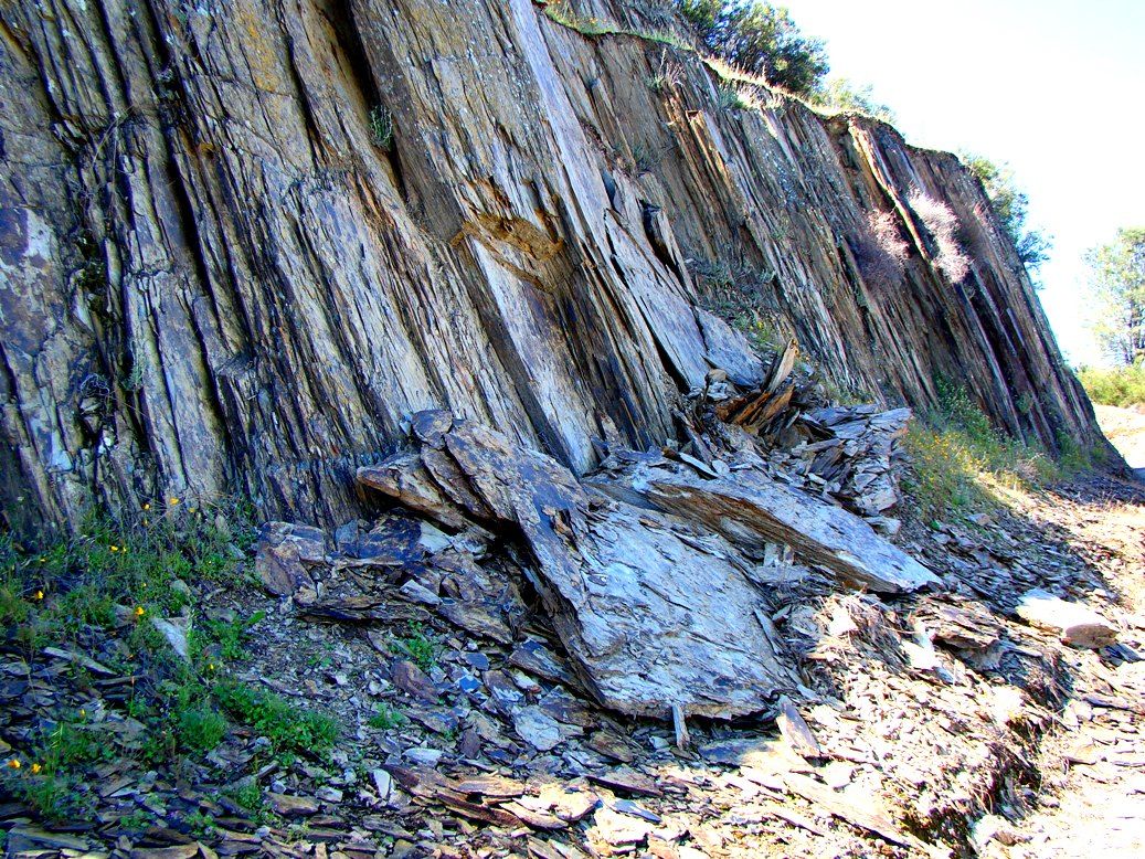
- Toppling - Widening of vertical fractures causes the fall
- Wedge Failure - Slide and Fall of wedges of rock over daylighting fractures
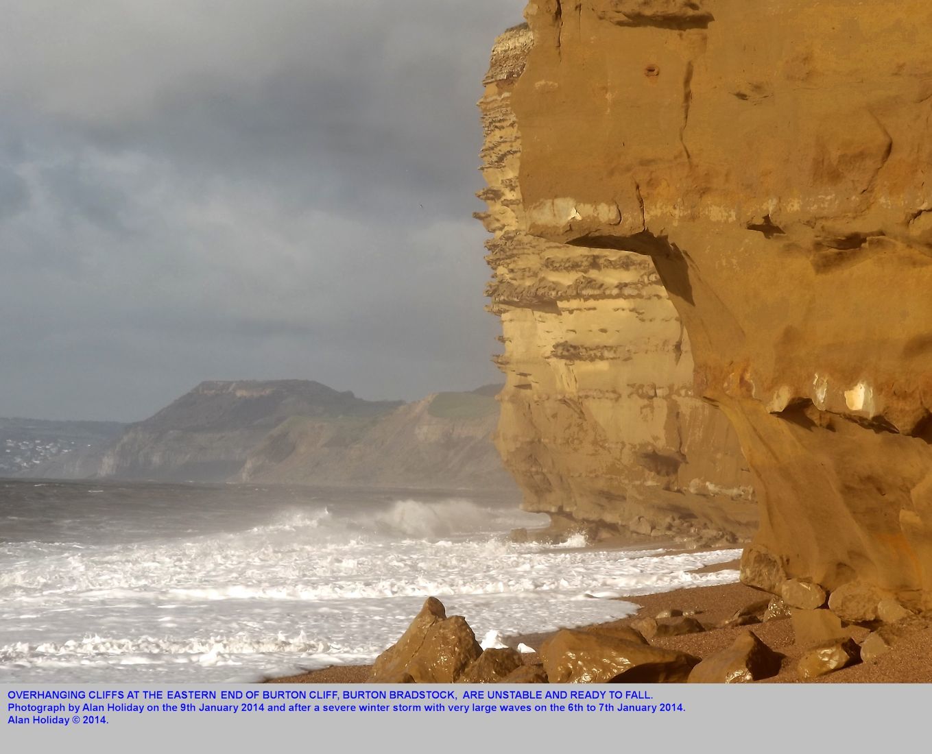
- Slab failure - Collapse of rock due to undercutting
- Slide -Slow or rapid movement of coherent block of rock or soil along a well defined slip-plane
Factors that contribute to mass wasting
- Reduction in slope strength
- Fractures, joints and bedding planes: Acts as slip planes and enable rocks to become loose
- Increase in Groundwater pressure: Lubricate slip planes and push material upwards
- Melting of ice that initially binded rocks
- Vibrations from earthquakes, trains and cars
- Saturation: softens soil and reduces cohesive strength
- Organic effect: burrowing animals and decay of binding tree roots loosen sediment and reduce binding
- Increase in gravitational force
- Precipitation: The additional weight of now saturated sediment or snow can cause mass wasting
- Weight of buildings, developments and other infastructure
- Gradient of the slope, Steeper slopes have a higher graviatational force
- Reduction in slope strength
Monitoring
- Measurements of creep or strain - Will increase prior to major slide
- Strain meters
- Micro-Seismic monitor
- Borehole distortion
- Groundwater Pressure
- Measured using piezometers installed in boreholes
- Hazard Mapping - Areas of active landslides can be mapped in order to reconstruct development near unstable slopes
- Surveying (Detecting surface changes caused by underneath movement)
- Leaning structures
- Build up of soil and debris
- Change in slope shape
- Formation of tension cracks
- Measurements of creep or strain - Will increase prior to major slide
Imágenes y archivos del mapa
Información
- Descripción
- A level (GL3) Geology Mapa Mental sobre Mass Wasting, creado por Samantha Bradley el 16/03/2017.
- Creado por
- Samantha Bradley
- Visitas
- 0
- Valoración